What is recorded here
Situated on a gently sloping ground in recently clearfelled area on the N slopes of Knocknarea. This is a gneiss erratic and measures c. 1.6m high by 0.8m wide and 0.7m thick. The stone is in situ. It has some rather spectacular natural banding on its west face (pers. comm. Stefan Bergh, 14 August 2014).
The attached image (SL014-275----_01.jpg) is uploaded courtesy of Dr. Stefan Bergh.
Compiled by: Paul Walsh based on information kindly supplied by Dr Stefan Bergh, NUI Galway.
Date of upload: 22 August 2014
Likely dating to the Bronze Age, this standing stone may have functioned as a territorial marker or ritual monument. Its placement on the slopes of Knocknarea, an area associated with ancient passage tombs and mythological traditions, suggests a possible link to wider ceremonial landscapes.
The monument record does not grant public access. Check the route and ask the landowner before entering private land.
- What survives
- Recorded monument
Places near here
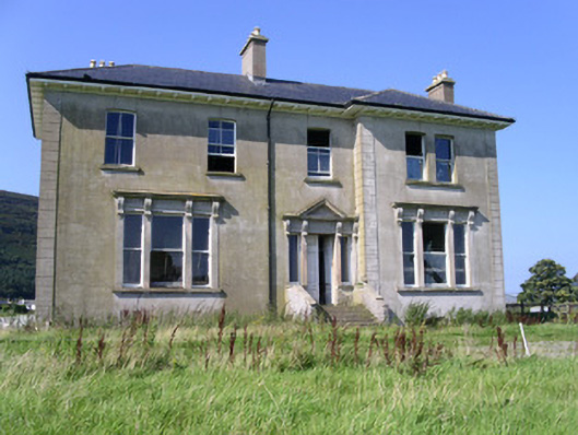 Rathcarrick Househouse · 519 yd
 Knocknarea trailWalking route · 738 yd
 Enclosure in Lecarrow (carbury By.)Enclosure · 745 yd
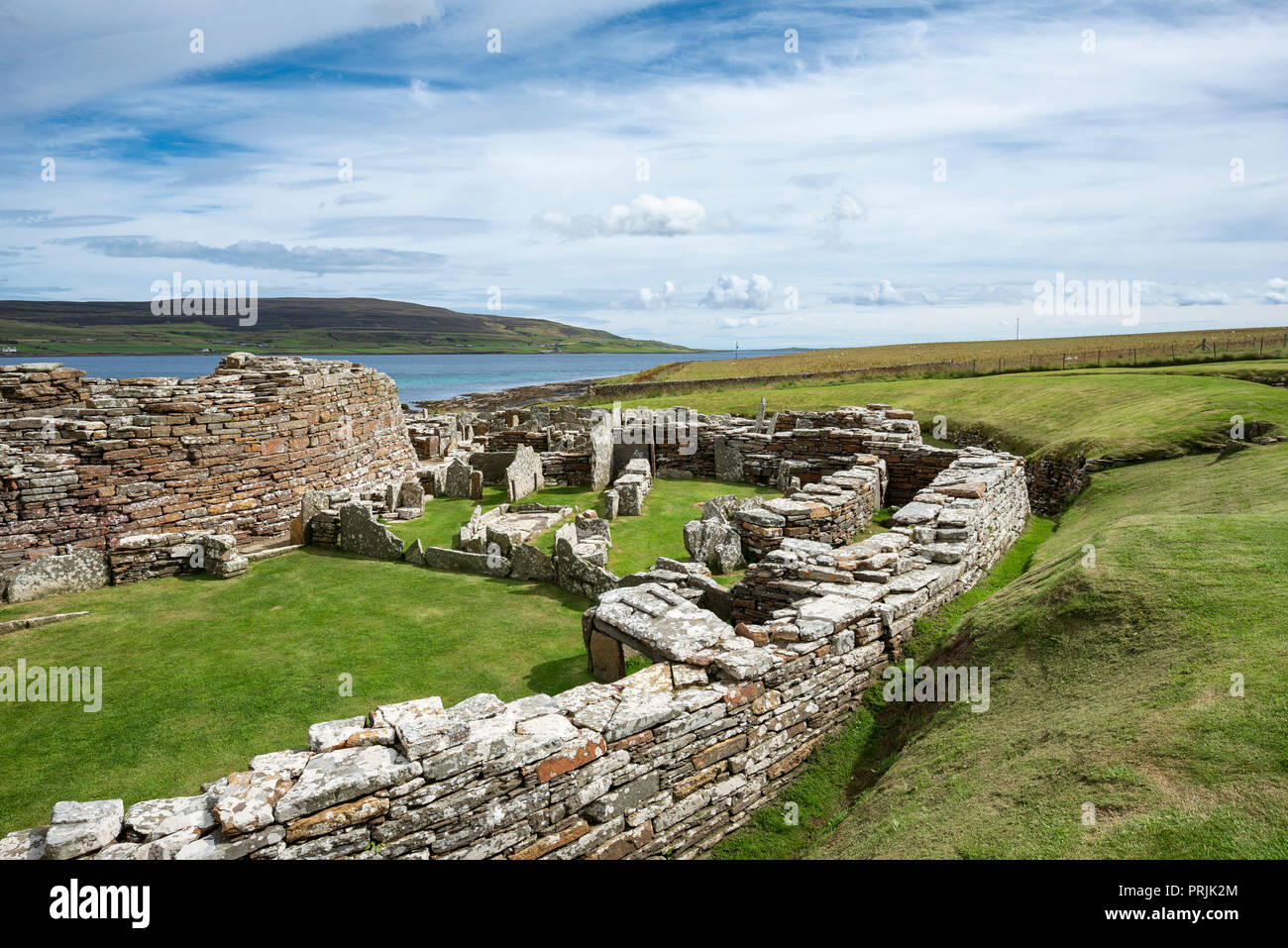 Settlement ruinsArchaeological place · 746 yd
 KnocknareaMountain / peak · 949 yd
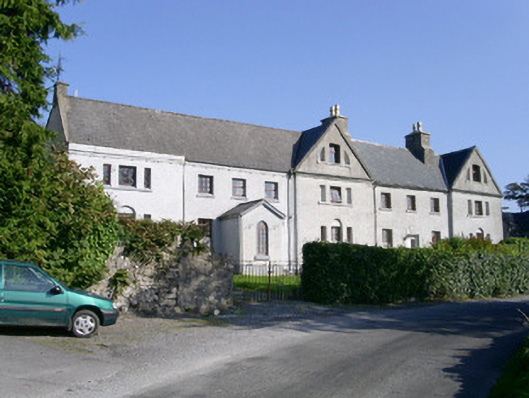 Primrosegrange Houseschool · 1348 yd
 Castle (in Ruins)Castle, unclassified · 1549 yd
 The GlenWood · 1.1 mi
 SuperHeritage attraction · 1.8 mi
 Doonanpatrick IslandIslet · 1.8 mi
 CulleenamoreBeach / strand · 1.9 mi
 Carrowmore Visitors CentreVisitor information · 1.9 mi