What is recorded here
Standing stone in Rathangan (rathangan Ed) is a thin granite pillar rising 1.4m above a low grass mound at the east end of a narrow pasture ridge. Its north and south faces are worked smooth while the east and west remain rough, suggesting deliberate shaping rather than natural chance. Livestock have since rubbed the southwest and southeast angles and worn a shallow circular depression around its base, blending human patience and animal habit into one quiet marker above the Slate River flood-plain.
At the E end of a low, narrow pasture ridge overlooking the narrow flood-plain of the Slate River which flows SW c. 100m to the N, and overlooked by the embankment of the Grand Canal (Athy Branch) c. 30m to the S. A thin granite stone with a square base (dims. L 0.25m; Wth 0.25m) tapers gently to a semi-rounded top (H 1.4m). The N and S faces are worked smooth while the E and W faces are rough. Smoothing on the SW and SE angles is caused by scratching livestock, which have worn a shallow circular depression in the ground surface around the bass of the stone (diam. 2.5m; D 0.4m). The stone has been erected on a low, oval, grass-covered mound (diams. 20m E-W; 12m N-S; H 0.2-0.7m).
Compiled by: Gearóid Conroy
Date of upload: 10 June 2011
The monument record does not grant public access. Check the route and ask the landowner before entering private land.
- What survives
- Recorded monument
Places near here
 Church in Rathangan (rathangan Ed)Church · 213 yd
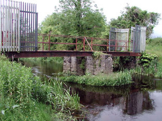 foot bridgefoot bridge · 360 yd
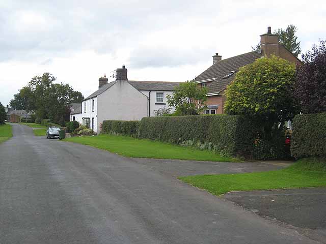 Enclosure in Newtown (killinthomas Ed)Enclosure · 1039 yd
 Bithia Mary CrokerMemorial · 1288 yd
 An Rath Ring FortArchaeological place · 1332 yd
 Site of CastleCastle, tower house · 1673 yd
 Community OrchardNature reserve · 1.1 mi
 Killinthomas Wood (Rathangan)Wood · 1.5 mi
 Offaly CastleCastle, tower house · 1.6 mi
 The Fairy BowerHeritage attraction · 3.5 mi
 Lullymore Heritage ParkHeritage attraction · 3.5 mi
 Sli na Slainte - mapVisitor information · 5.1 mi