What is recorded here
Wedge shaped standing stone (H 1.3m x Wth 1.35m x T 0.8m) orientated on a NE-SW alignment, recorded during monitoring for a forestry development. It stands on the shoulder of raised ground overlooking low-lying boggy areas to the S and W including an historic lake or marshy area. It currently stands on the ground surface but this could be explained by the surrounding area having been extensively cut for turf. A second fallen stone (L 1.1m x Wth 0.45m W x T 0.3m) lies just to the W along with a small block of quartz. A 20m exclusion area was left unplanted around the stone.
See attached images courtesy of Tony Miller
Compiled by: Caimin O'Brien based on details provided by Tony Miller
Date of upload: 25 January 2022
Dated to the Late Neolithic or Early Bronze Age, the stone's NE-SW alignment may have had ceremonial or astronomical significance. Such stones often marked territorial boundaries or were used in ritual practices associated with the landscape.
The monument record does not grant public access. Check the route and ask the landowner before entering private land.
- What survives
- Recorded monument
Places near here
 Saint Michael's Church (Killorglin)church/chapel · 1.5 mi
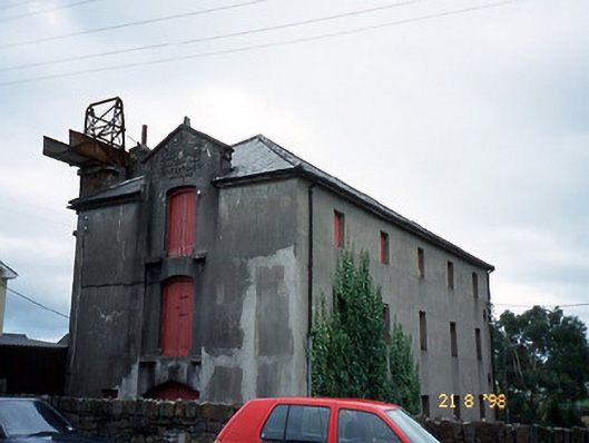 store/warehousestore/warehouse · 1.5 mi
 CastleCastle, tower house · 1.5 mi
 King Puck statueMemorial · 1.6 mi
 Ballykissane Tragedy Wall of RemembranceMonument · 1.6 mi
 CaveMan-made underground passage · 1.6 mi
 Cloon IslandIsland · 2.4 mi
 Clash IslandIslet · 2.9 mi
 Kerry Bog VillageHeritage attraction · 3.4 mi
 Lough Yganavan Nature ReserveNature reserve · 3.7 mi
 Lough Nambrackdarrig Nature ReserveNature reserve · 3.9 mi
 Cromane BeachBeach / strand · 4.4 mi