What is recorded here
Westropp found a buried giant near Raheennamadra streams in 1917, yet neither man nor camera has caught it since. The grass may be hiding a chamber, a tomb or a marker for water. Ringforts still stand nearby, waiting for someone to stop measuring and begin listening.
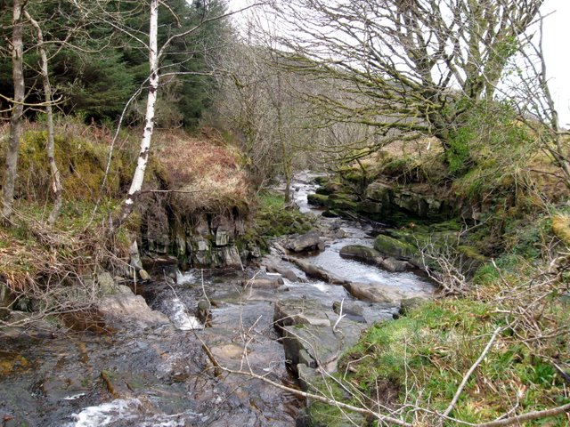
In pasture, ringforts (LI041-013005-007-) lie 140m to the SE. Not depicted on OSi historic maps. Westropp’s (1917-19, 67) description of a standing stone (LI041-013008-) recorded another standing stone which he described as ‘possibly as large, but partly buried, lies to the north-east above the slope to the stream, which joins a second stream and has several pools and springs beside it.’ No surface remains visible on Digital Globe orthoimage taken between 2011-13 or on Google Earth orthoimages.
See Google Earth orthoimages.
Compiled by: Fiona Rooney
Date of upload: 29 July 2021
See attached ASI aerial photographs ASIAP – 318/15 taken on 05/10/2002. 343/19 on 05/01/2003
Probably dating to the Bronze Age, the standing stone may have had ritual or territorial significance, possibly linked to nearby ringforts. Local folklore sometimes associates such stones with ancient guardians or memorials for notable individuals.
The monument record does not grant public access. Check the route and ask the landowner before entering private land.
- What survives
- Recorded monument
Places near here
 RoadRoad, road/trackway · 214 yd
 Hut site in RaheennamadraHut site · 219 yd
 BarrowBarrow, pond barrow · 261 yd
 Ballyscaddanegate lodge, demesne walls/gates/railings · 1166 yd
 Saint Patrick's WellSpring · 1254 yd
 St Patrick's WellSpring · 1469 yd
 Castle (in ruins)Castle, tower house · 1523 yd
 Ryves CastleCastle, unclassified · 1564 yd
 Ballinvreena LoopVisitor information · 2.9 mi
 SlievereaghMountain / peak · 3.0 mi
 Flat cemetery in Knockainy WestFlat cemetery · 4.5 mi
 Palatine's RockNamed rock · 4.9 mi