What is recorded here
Located on a gentle NE-facing slope of a SE-NW valley. This is a limestone with a rectangular cross-section (dims 1.2m x 0.4m) aligned NW-SE and a blunt pointed top (H 1.8m). Archaeological testing (10E0325) by D. Finn c. 140m to the W at the closest point produced no related material (excavations.ie 2010:533).
The above description is derived from the published 'Archaeological Inventory of County Meath' (Dublin: Stationery Office, 1987). In certain instances the entries have been revised and updated in the light of recent research.
Compiled by: Michael Moore
Date of revision: 1 November 2018
Amended: 16 March 2021
Dated to the Late Neolithic or Early Bronze Age, this standing stone likely functioned as a territorial marker or ceremonial monument. Its alignment and form suggest possible ritual or astronomical significance, though specific folklore or use remains undocumented.
The monument record does not grant public access. Check the route and ask the landowner before entering private land.
- What survives
- Recorded monument
Places near here
 CrossCross, Wayside cross · 739 yd
 Oliver Plunkett memorialMemorial · 750 yd
 IndicatedEnclosure · 760 yd
 Earthen TumulusCastle, motte · 1495 yd
 Drumlerry WetlandForest · 1634 yd
 Loughcrew Megalithic TombsHeritage attraction · 1752 yd
 Slieve Na CalliaghMountain / peak · 1759 yd
 LoughcrewMegalithic tomb cemetery · 1.7 mi
 CastleCastle, unclassified · 1.8 mi
 Carnbane WestMountain / peak · 1.8 mi
 C11Named rock · 1.8 mi
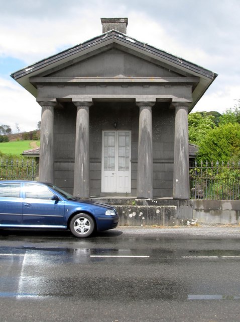 Loughcrew Housegate lodge · 2.3 mi