What is recorded here
Not marked on the OS maps, this standing stone is located on a hilltop W of Cottoners river and about 30m NW of 'Lisnafelimy' rath (KE056-041----). It rises irregularly to a height of 1.25m from a base measuring 1.05m x .8m; E-W.
The above description is derived from A. O'Sullivan and J. Sheehan (compilers), 'The Iveragh peninsula: an archaeological survey of South Kerry'. Cork University Press (1996), no. 203. In certain instances the entries have been revised and updated in the light of recent research.
Date of upload: 28 July 2013
Probably dating to the Late Neolithic or Bronze Age, this standing stone may have had ceremonial or territorial significance, possibly linked to the nearby fulacht fiadh or ringfort. Local folklore sometimes associates such stones with ancient pathways or protective landmarks.
The monument record does not grant public access. Check the route and ask the landowner before entering private land.
- What survives
- Recorded monument
Places near here
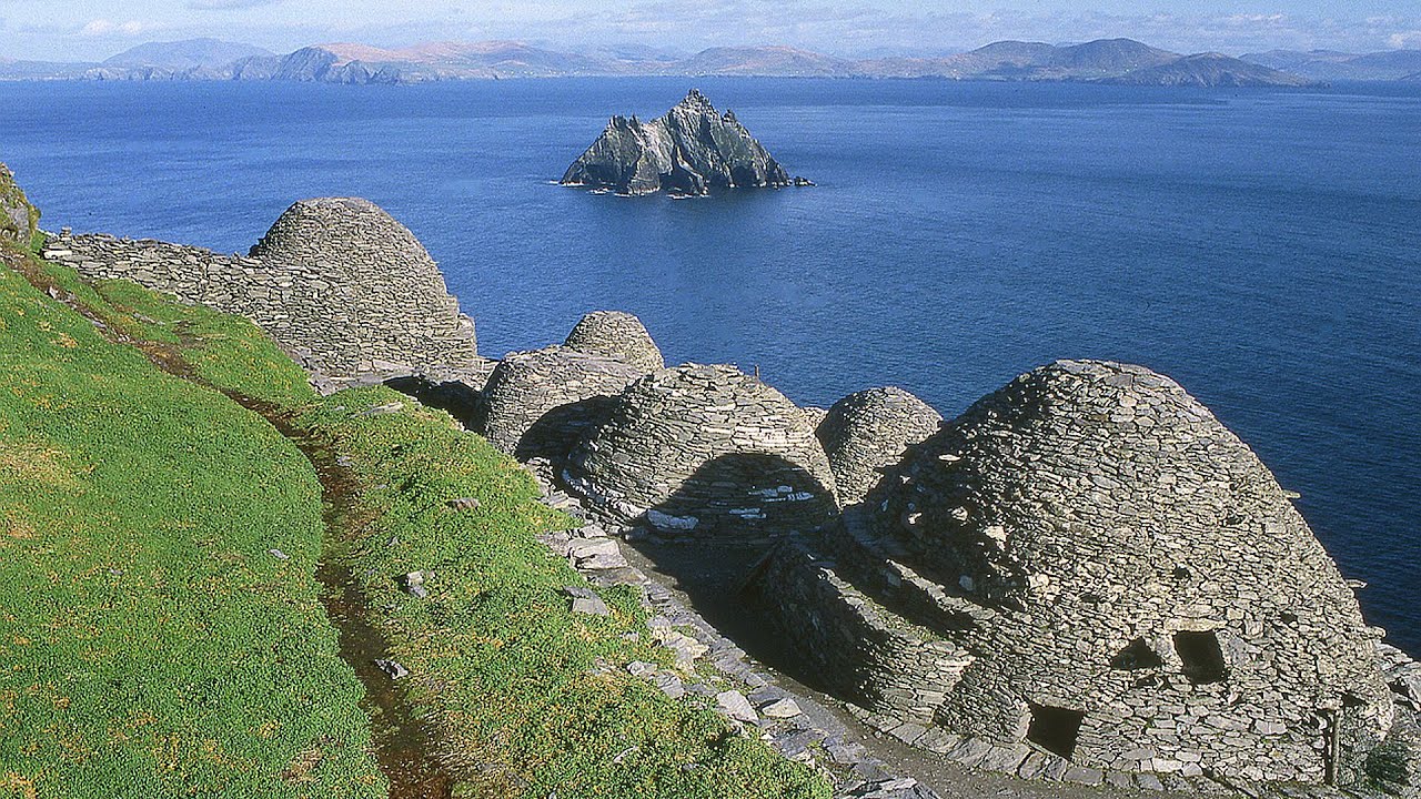 Hut site in ArdacluckeenHut site · 1314 yd
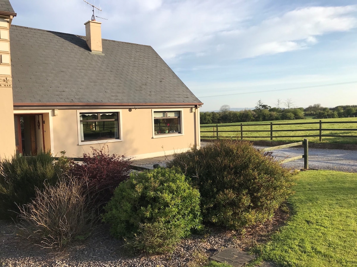 Enclosure in ArdacluckeenEnclosure · 1406 yd
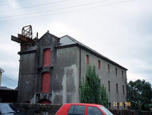 store/warehousestore/warehouse · 1.5 mi
 Saint Michael's Church (Killorglin)church/chapel · 1.5 mi
 King Puck statueMemorial · 1.5 mi
 CastleCastle, tower house · 1.5 mi
 Cloon IslandIsland · 2.3 mi
 Clash IslandIslet · 2.7 mi
 Ballymalis Castle (in ruins)Castle, tower house · 3.7 mi
 KnockbrackMountain / peak · 3.9 mi
 Kerry Bog VillageHeritage attraction · 4.4 mi
 KnockroeMountain / peak · 4.6 mi