What is recorded here
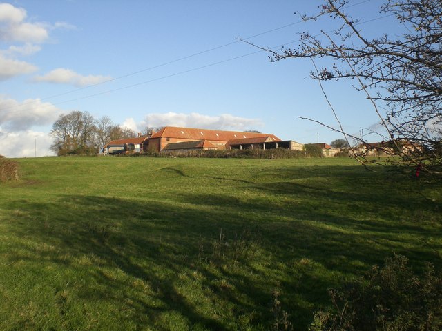
In pasture, 90m SW of the Augustinian nunnery of Monasternagalliaghduff (LI019-026009-) and 45m E of the dovecote (LI019-026004-), in the formal grounds of the Old Abbey House ruins which stand 170m to N. Not depicted on any OS maps. Possible standing stone described by Westropp as following; ‘In the field next to the Pigeon House [LI019-026004-] is a stone 3 feet 6 inches [1m] high and three feet [0.9m] by two feet [0.6m] wide’. No surface remains visible on Google Earth orthoimage taken 08/04/2015.
See attached location map
Compiled by: Martin Fitzpatrick
Date of upload: 13 July 2020
Probably dating to the early medieval period, this standing stone may have had a ceremonial or territorial function, possibly linked to the nearby Augustinian nunnery. Local folklore sometimes associates such stones with holy sites or protective markers.
The monument record does not grant public access. Check the route and ask the landowner before entering private land.
- What survives
- Recorded monument
Places near here
 MonasternagalliaghduffReligious house, Augustinian nuns · 153 yd
 Burial ground in OldabbeyBurial ground · 205 yd
 Settlement desertedSettlement deserted, medieval · 399 yd
 Movena Housecountry house · 504 yd
 CastleCastle, unclassified · 1144 yd
 Site of CastleCastle, unclassified · 1445 yd
 Foynes Flying Boat & Maritime MuseumMuseum · 3.4 mi
 Foynes Island ViewpointViewpoint · 3.6 mi
 Gammarel PointHeadland · 3.7 mi
 Holly IslandIslet · 4.0 mi
 Foynes IslandIsland · 4.1 mi
 St. Luke's WellSpring · 4.2 mi