What is recorded here
Site of possible standing stone located in field to the N of Columb Barracks on the outskirts of Mullingar town (WM019-089----). The constraint circle on the Record of Monument and Places Map for Co. Westmeath marks the site of a standing stone in the wrong field. An archaeological assessment was carried out in this field by Clare Mullins in 1997 prior to a housing development and no archaeological features were identified. A note on the map in the SMR file indicates that the possible standing stone originally was located in the field to the E of the constraint circle. The car park of a large shopping centre now stands in the area where the possible standing stone was originally located. It is possible that this standing stone was not a prehistoric monument but the remains of a 19th century War Department Boundary Stone marking out the boundary of the military property belonging to Columb Barracks. There are numerous boundary stones depicted in this field on the 1910 ed. OS 25-inch map.
Compiled by: Caimin O’Brien
Date of upload: 13 June 2014
The monument record does not grant public access. Check the route and ask the landowner before entering private land.
- What survives
- Recorded monument
Places near here
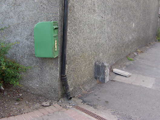 post boxpost box · 214 yd
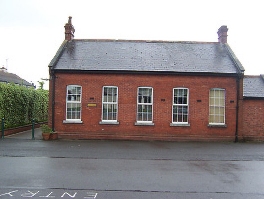 Columb Barracksofficers' mess · 280 yd
 Mullingar Cathedral MuseumMuseum · 551 yd
 Famine MemorialMemorial · 747 yd
 The Chimera GalleryGallery · 780 yd
 CastleCastle, unclassified · 790 yd
 Site of CastleCastle, unclassified · 866 yd
 Joe DolanMemorial · 887 yd
 Courthouse in MullingarCourthouse · 905 yd
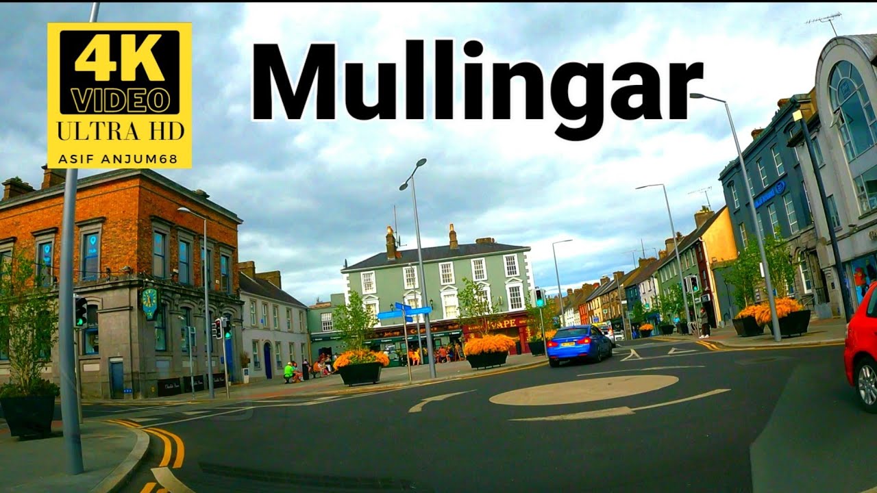 Town defences in MullingarTown defences · 957 yd
 Saint Brigid's WellSpring · 1.5 mi
 Lady's IslandWood · 2.3 mi