What is recorded here
No visible stones remain, but water now covers the place where two stood side by side. The larger reached nearly six feet, the smaller three, both thin enough to fit beside a person rather than tower over one. They are beneath the Erne Reservoir, hidden on a small island away from the shore. What they marked has drowned with them, leaving only measurement and absence.
A previous account (Davies) recorded 2 standing stones, side by side, here. The S stone was 5'10? high and 1ft × 10in in plan. The smaller stone was 3' high and 1ft 10in × 8in in plan. There are no visible remains. Situated on what is now a small island 150m from the present shore of the Erne Reservoir.
The above description was derived from the 'Archaeological Survey of County Donegal. A description of the field antiquities of the County from the Mesolithic Period to the 17th century.' Compiled by: Brian Lacey with Eamon Cody, Claire Cotter, Judy Cuppage, Noel Dunne, Vincent Hurley, Celie O'Rahilly, Paul Walsh and Seán Ó Nualláin (Lifford: Donegal County Council, 1983). In certain instances the entries have been revised and updated.
Date of upload: 22 September 2008
This remains an important historical record, but the official description says the monument is no longer visible or has been destroyed. The monument record does not grant public access. Check the route and ask the landowner before entering private land.
- What survives
- No visible remains or recorded as destroyed
Places near here
 Templenew Househouse · 853 yd
 Former Camlin Fairy Fort / BreginaFairy fort / earthen ringfort · 872 yd
 Camlin Fairy FortFairy fort / earthen ringfort · 1068 yd
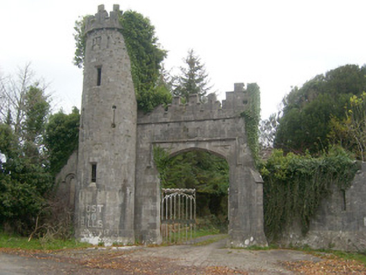 Camlin Castlegates/railings/walls, gate lodge · 1121 yd
 Castle in ruinsCastle, unclassified · 1608 yd
 Belleek Pottery MuseumMuseum · 1.8 mi
 Belleek PotteryHeritage attraction · 1.8 mi
 St Anne's Church GraveyardGraveyard · 2.6 mi
 HawthornHawthorn · 3.1 mi
 PLANTATION CASTLE: MAGHERAMEENAGH CASTLE in MagherameenaghPLANTATION CASTLE: MAGHERAMEENAGH CASTLE · 3.9 mi
 InishkeenIslet · 4.0 mi
 Wardtown StrandBeach / strand · 4.5 mi