What is recorded here
Located on a low N-S ridge about 100m from the W shore of Lough Allen. It is depicted on the 1835 and 1907 editions of the OS 6-inch map and described in gothic lettering on both as a 'Standing Stone'. This is a sandstone upright with a subrectangular cross-section at the base (dims 0.67m x 0.6m; H 1.1m) which tapers towards the top (dims 0.4m E-W; 0.3m N-S) but the stone has no discernible orientation.
The above description is derived from 'The Archaeological Inventory of County Leitrim' compiled by Michael J. Moore (Dublin: Stationery Office, 2003). In certain instances the entries have been revised and updated in the light of recent research.
Date of upload: 23 September 2008
Likely dating to the Bronze Age, the standing stone may have served as a territorial marker, ceremonial monument, or astronomical alignment point. Local folklore sometimes associates such stones with ancient druids or as sites of supernatural activity.
The monument record does not grant public access. Check the route and ask the landowner before entering private land.
- What survives
- Recorded monument
Places near here
 Temple na galliagh dooChurch · 497 yd
 Penal Mass station in TawnycorraghPenal Mass station · 865 yd
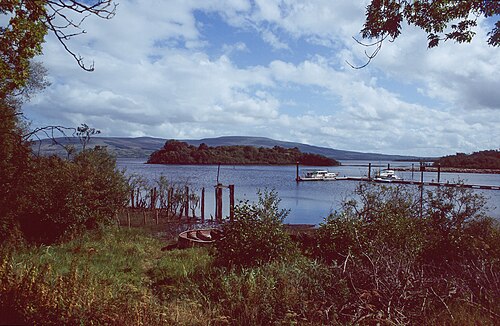 Lough AllenLarge freshwater lake · 1.5 mi
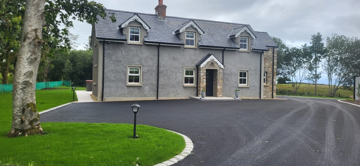 GubcormonganHeadland · 1.6 mi
 Long IslandIslet · 1.8 mi
 Round IslandIslet · 1.9 mi
 Sweat Ho. (Disused)Sweathouse · 1.9 mi
 Scardan WaterfallWaterfall · 2.2 mi
 IndicatedFairy fort / earthen ringfort · 2.3 mi
 European ashEuropean ash · 2.3 mi
 Black PoplarBlack Poplar · 2.3 mi
 Arigna Mining ExperienceMuseum · 3.0 mi