What is recorded here
Standing stone in Muineagh (desertegny Ed) rises 3.08m high on pasture land above Lough Swilly, its narrow 0.38m thickness catching light like a knife edge. People may have set it there to mark hunger, love or warning, though no name remains. It still points north-south across the water, unchanged since before records began.
A standing stone 3.08m high × 1.13m wide × 0.38m thick; N-S. Situated on pasture land overlooking Lough Swilly.
The above description was derived from the 'Archaeological Survey of County Donegal. A description of the field antiquities of the County from the Mesolithic Period to the 17th century.' Compiled by: Brian Lacey with Eamon Cody, Claire Cotter, Judy Cuppage, Noel Dunne, Vincent Hurley, Celie O'Rahilly, Paul Walsh and Seán Ó Nualláin (Lifford: Donegal County Council, 1983). In certain instances the entries have been revised and updated.
Date of upload: 22 September 2008
Likely dating to the Bronze Age, this standing stone may have had ceremonial or territorial significance, possibly aligned with landscape features or astronomical events. No specific folklore or detailed use is recorded for this site.
The monument record does not grant public access. Check the route and ask the landowner before entering private land.
- What survives
- Recorded monument
Places near here
 Former Muineagh Fairy FortFairy fort / ringfort · 397 yd
 Castle Ross (Site of)Castle, unclassified · 860 yd
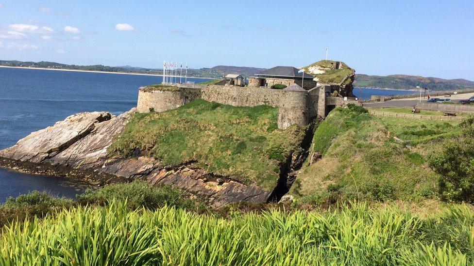 Former An Tóin Dubh Stone Fort near DunreeFairy fort / stone ringfort · 869 yd
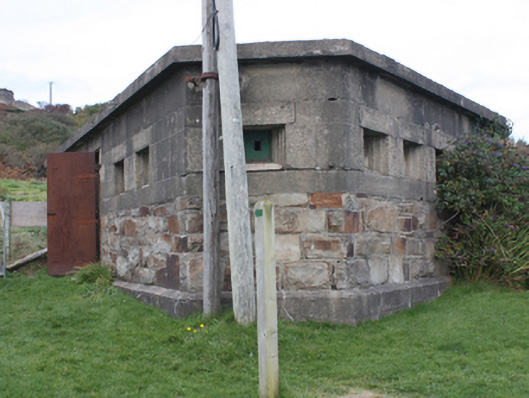 Dunree FortOfficially recorded historic building · 1112 yd
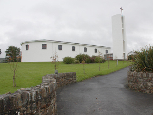 Star of the Sea Catholic Churchchurch/chapel · 1463 yd
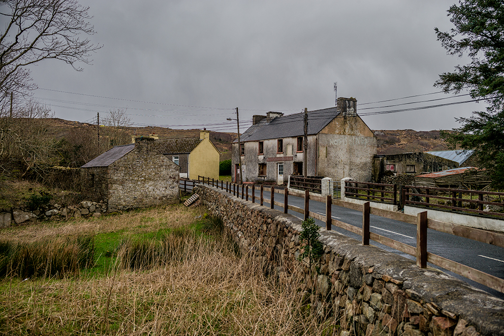 Saldána GalleryGallery · 1480 yd
 Dunree CentreMuseum · 1490 yd
 Dunree HeadHeadland · 1648 yd
 Urris HillsMountain / peak · 2.0 mi
 Wild Atlantic Way:Ballymastocker StrandVisitor information · 2.6 mi
 Mamore GapViewpoint · 3.0 mi
 Stragill BeachBeach / strand · 3.1 mi