What is recorded here
Mortons stands on a narrow ridge beneath Slieve Glah, an irregular pillar tapering to a point like a broken tooth. Rain and wind, not human tools, likely cut its shallow cups, yet people have always seen intention in stone. It still catches light on the ridge, marking the edge where the land stops pretending to be ordinary.
Situated on a small level ridge overlooked by Slieve Glah. Irregularly shaped stone tapering to a point (H 1.55m; dims 1.34m x 0.55m). It contains many cupmark-type depressions which are almost certainly natural in origin.
The above description is derived from the published 'Archaeological Inventory of County Cavan' (Dublin: Stationery Office, 1995). In certain instances the entries have been revised and updated in the light of recent research.
Date of upload/revision: 22 December 2008
The monument record does not grant public access. Check the route and ask the landowner before entering private land.
- What survives
- Recorded monument
Places near here
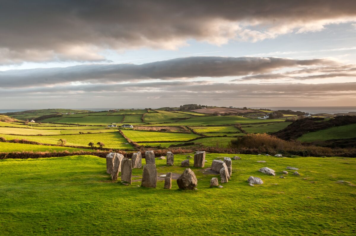 Stone CircleArchaeological place · 587 yd
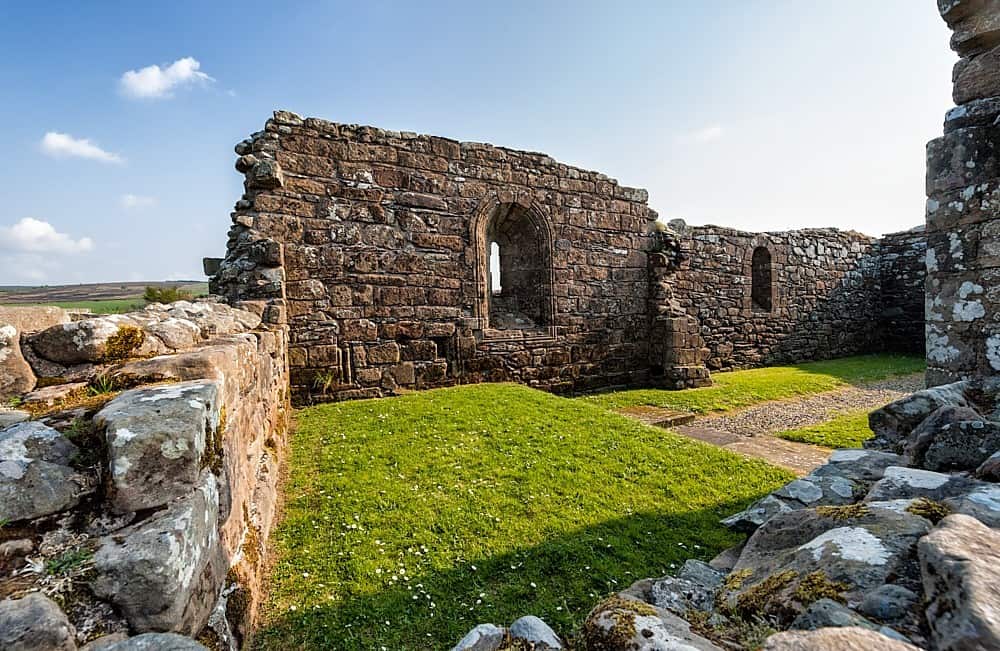 Enclosure in BanagherEnclosure · 644 yd
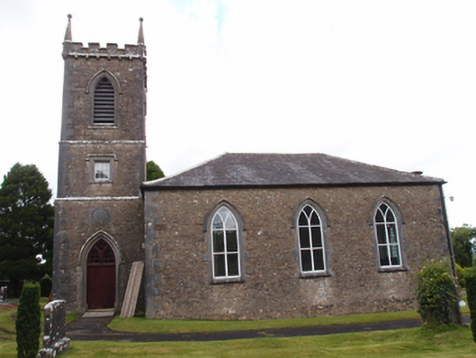 Denn Churchchurch/chapel · 1157 yd
 Dennmore or LeggandennMountain / peak · 1494 yd
 Carricknagore RockNamed rock · 1.9 mi
 Derry ForestForest · 1.9 mi
 Aghalackan EastMountain / peak · 1.9 mi
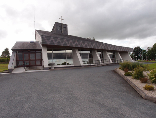 St Dymphna's Roman Catholic Churchchurch/chapel · 2.1 mi
 Ardkill ForestForest · 2.1 mi
 Ancient Order of Hibernians MemorialMemorial · 2.5 mi
 Bawn in MoynehallBawn · 2.8 mi
 Raven's RockNamed rock · 3.4 mi