What is recorded here
A tall stone still stands in Middle Division, County Antrim, holding a prehistoric age that no longer names itself. It may have marked a boundary, a burial, a meeting place or a warning about the land beneath the grass. People walked past it for centuries, perhaps taking its shape for a common rock while it kept a older job.
The official Northern Ireland record identifies this as STANDING STONE. Recorded period: PREHISTORIC; UNCERTAIN. The official map point was placed at the centre of the recorded archaeological site from the source map reference.
The monument record does not grant public access. Check the route and ask the landowner before entering private land.
- What survives
- Recorded monument
Places near here
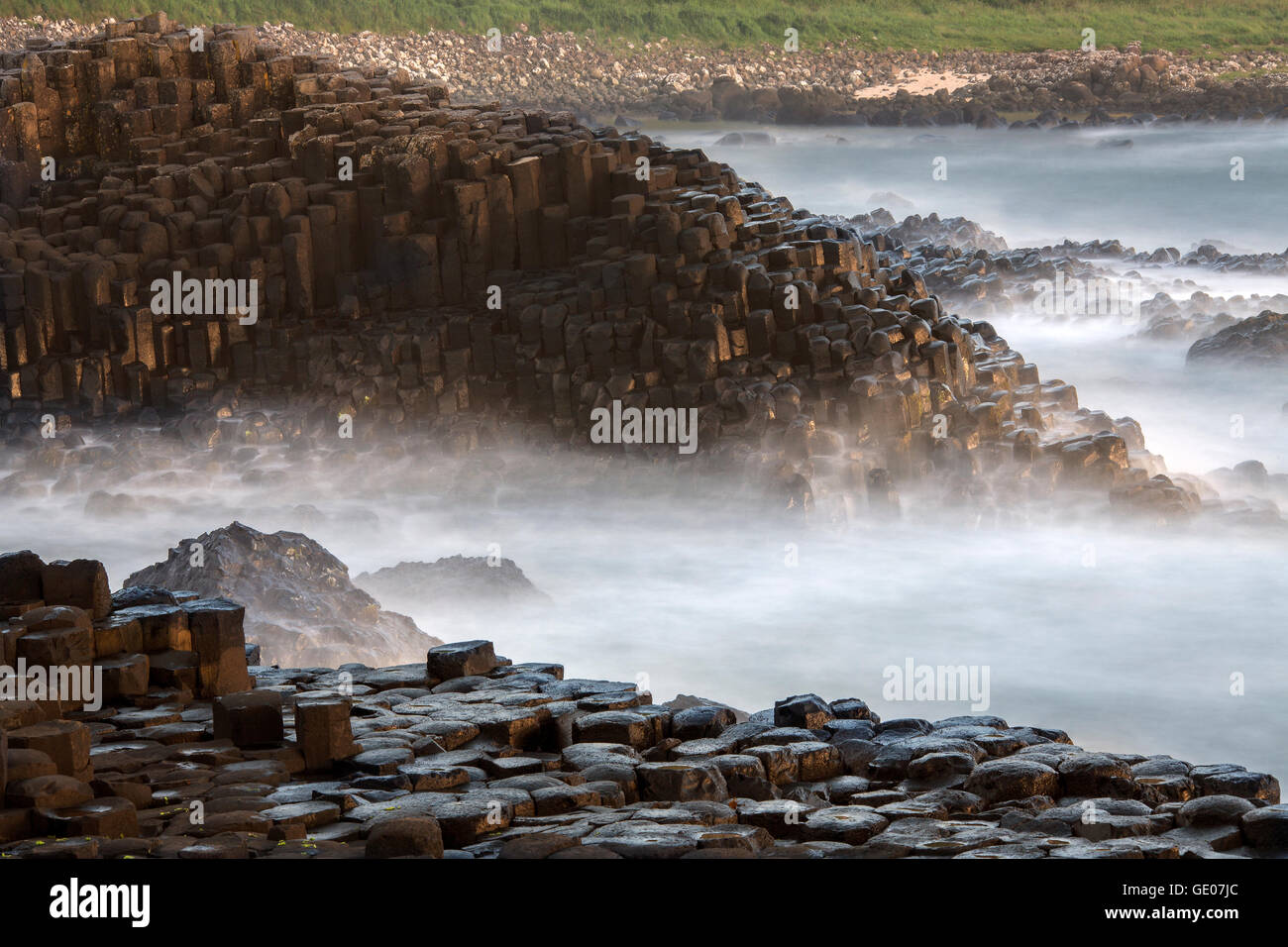 A.P. SITEA.P. SITE, enclosure · 1075 yd
 ENCLOSURE in BallylaganENCLOSURE · 1.2 mi
 North Carn ForestForest · 1.5 mi
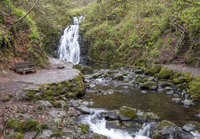 Glenoe WaterfallWaterfall · 2.3 mi
_-_geograph.org.uk_-_580056.jpg?width=1280) 6 Glenoe VillageHouse · 2.4 mi
6 Glenoe VillageHouse · 2.4 mi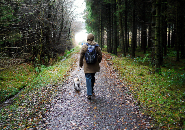 Woodburn ForestForest · 2.8 mi
 O'Haughan's CaveCave · 4.2 mi
_-_geograph.org.uk_-_652849.jpg?width=1280) The County Antrim War MemorialMemorial · 4.3 mi
The County Antrim War MemorialMemorial · 4.3 mi US RangersMemorial · 4.4 mi
 Siege of Carrickfergussiege · 4.6 mi
 Carrickfergus MuseumMuseum · 4.6 mi
 MEDIEVAL PARISH CHURCH, POST-MED. & MODERN CHURCH & GRAVEYARD: ST NICHOLAS' CHURCH, ST NICHOLAS OF CRAGFERGUS in CarrickfergusMEDIEVAL PARISH CHURCH, POST-MED. & MODERN CHURCH & GRAVEYARD: ST NICHOLAS' CHURCH, ST NICHOLAS OF CRAGFERGUS · 4.6 mi