What is recorded here
Jerh. Murphy's land in Meennaraheeny still holds the stone, buried to its base in a boundary fence and measuring nine and a half feet long. It sits 155 yards west of a known fort, large enough to mark a claim, a warning or a gift, yet exact purpose has slipped from the site. The fence owns its top now, but the stone may have owned the field before the fence existed.
Bowman (1934, 81) recorded standing stone on Jerh. Murphy's land; 'This is at present at the base of a boundary fence and measures 91/2ft x 2ft x 2ft. It is 155 yards west of...fort [14270]'. Exact location not known.
The above description is derived from the published 'Archaeological Inventory of County Cork. Volume 4: North Cork' (Dublin: Stationery Office, 2000). In certain instances the entries have been revised and updated in the light of recent research.
Date of upload/revision: 14 January 2009
The monument record does not grant public access. Check the route and ask the landowner before entering private land.
- What survives
- Recorded monument
Places near here
 Three CountiesPicnic place · 1337 yd
 BarrowBarrow, bowl-barrow · 1608 yd
 Enclosure in AcresEnclosure · 1622 yd
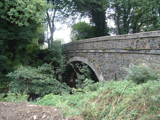 Breanagh Bridgebridge · 1.1 mi
 IndicatedKiln, lime · 1.3 mi
 Rock HillMountain / peak · 3.6 mi
 KnockacummerMountain / peak · 5.0 mi
 Glenquin CastleCastle · 7.0 mi
 TobereenalaffinaSpring · 7.3 mi
 Saint Ite's WellSpring · 7.8 mi
 Dotted outlineBawn · 7.8 mi
 Nohaval WoodWood · 14 mi