What is recorded here
That is the only instruction being tested, not an invented claim about the place.
Not marked on any OS ed. Situated a short distance SE of the highest point of a steep drumlin. An irregularly shaped upright stone slab (H 0.95m; dims. 0.86m x 0.23m).
The above description is derived from the published 'Archaeological Inventory of County Cavan' (Dublin: Stationery Office, 1995). In certain instances the entries have been revised and updated in the light of recent research.
Date of upload/revision: 22 December 2008
The monument record does not grant public access. Check the route and ask the landowner before entering private land.
- What survives
- Recorded monument
Places near here
 Giant GraveCourt tomb · 1194 yd
 Giant's GraveArchaeological place · 1284 yd
 Man-made underground passage in MoylemuckMan-made underground passage · 1558 yd
 AghagashlanMountain / peak · 1.1 mi
 St Mary's Middle Chapelchurch/chapel · 1.3 mi
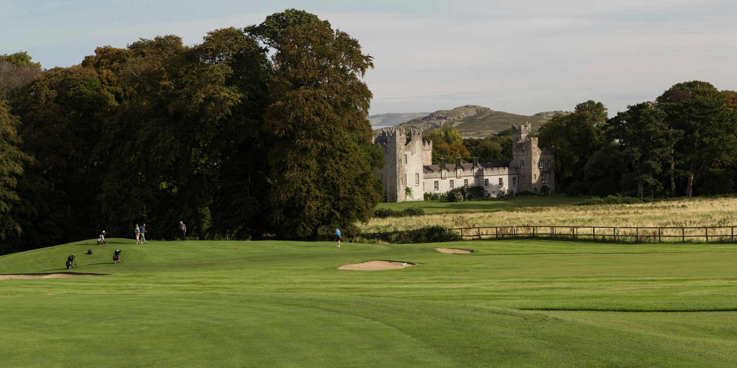 Deer ParkForest · 1.5 mi
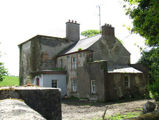 Farmoyle Househouse · 1.5 mi
 Killycramph WoodForest · 2.0 mi
 Graveyard in Drumgoon (clankee By.)Graveyard · 2.3 mi
 Fedd HillMountain / peak · 2.5 mi
 CastleCastle, unclassified · 2.8 mi
 Site of Old CastleCastle, unclassified · 5.0 mi