What is recorded here
There is no visible trace of the 'Gallaun' marked on the OS maps. It was situated in fairly rough pastureland on the E slopes of Croaghmarhin, overlooking the broad crescent of lowlying land that surrounds Smerwick Harbour.
The above description is derived from J. Cuppage, ‘Corca Dhuibhne. Dingle Peninsula archaeological survey. Ballyferriter. Oidhreacht Chorca Dhuibhne’ (1986), no. 157. In certain instances the entries have been revised and updated in the light of recent research.
Date of upload: 4 August 2013
This remains an important historical record, but the official description says the monument is no longer visible or has been destroyed. The monument record does not grant public access. Check the route and ask the landowner before entering private land.
- What survives
- No visible remains or recorded as destroyed
Places near here
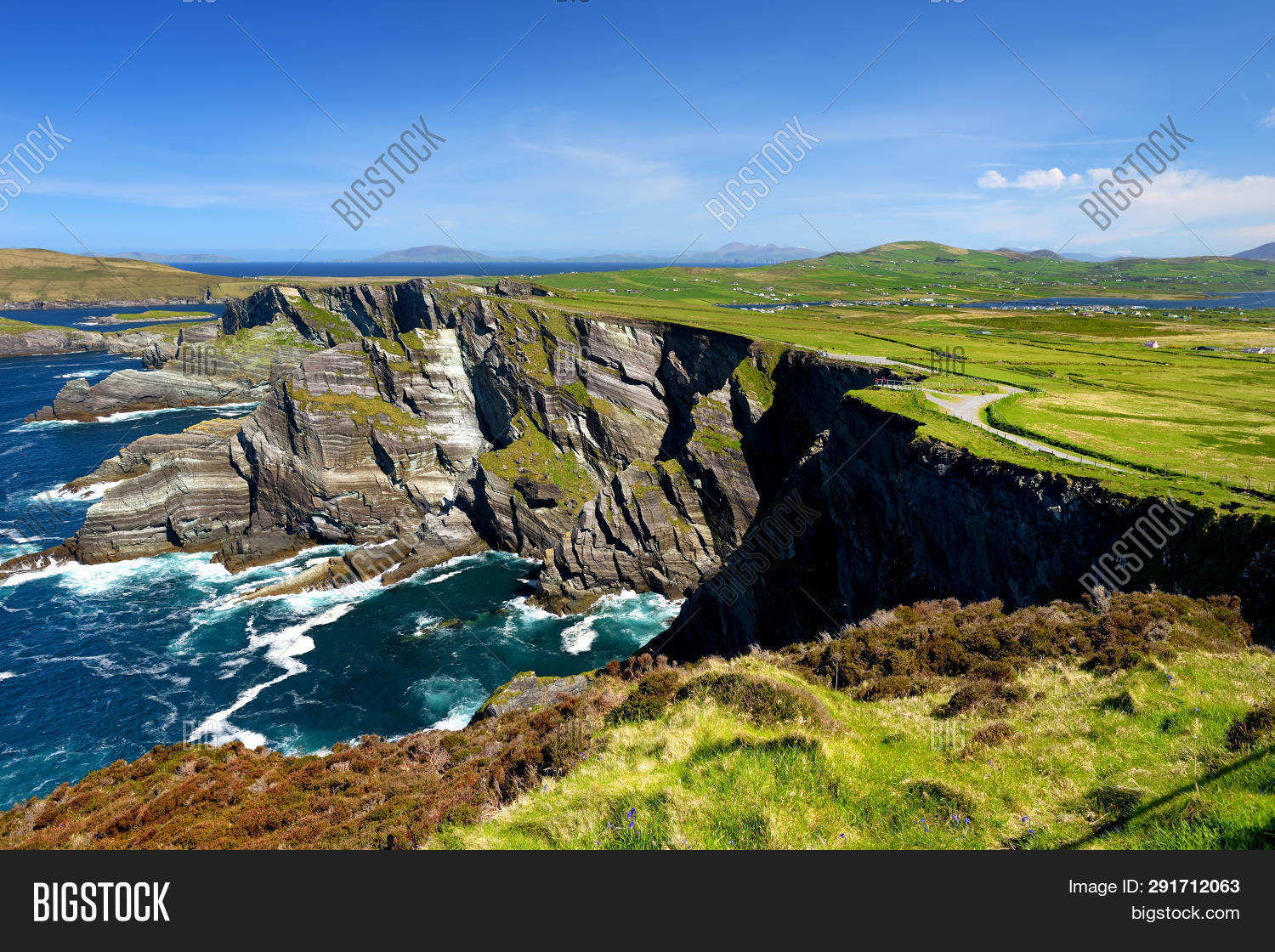 ToberoneHoly well · 159 yd
 CahernagatFairy fort / stone ringfort · 553 yd
 Penitential station in Baile An BhaoithínPenitential station · 1179 yd
 St Brendan's WellSpring · 1285 yd
 Ballineanig HillMountain / peak · 1395 yd
 Cruach MhárthainMountain / peak · 1476 yd
 Church (in ruins)Church · 1610 yd
 Músaem Chorca DhuibhneMuseum · 1.0 mi
 Rahinnane Castle (in ruins)Castle, tower house · 1.4 mi
 Riasc Monastic SettlementHeritage attraction · 1.5 mi
 CúlfhaillCliff · 2.0 mi
 Faill na SaorCliff · 2.0 mi