What is recorded here
Situated on a gentle S-facing slope of the relatively high ground around Kilwatermoy Mountain. It is also just on the E side of a N-S lane and c. 140m E of the Youghal to Tallow road (R634), with the county boundary with Cork c. 170m to the S. It is marked as a possible megalithic structure only on a 1716 Bateman map (NLI, MSS 6148-9). There is a small pond at the location.
The above description is derived from the published 'Archaeological Inventory of County Waterford' (Dublin: Stationery Office, 1999). In certain instances the entries have been revised and updated in the light of recent research.
Revised by: Michael Moore
Date of upload: 27 September 2011
The monument record does not grant public access. Check the route and ask the landowner before entering private land.
- What survives
- Recorded monument
Places near here
 Burial ground in GlennagloghBurial ground · 1055 yd
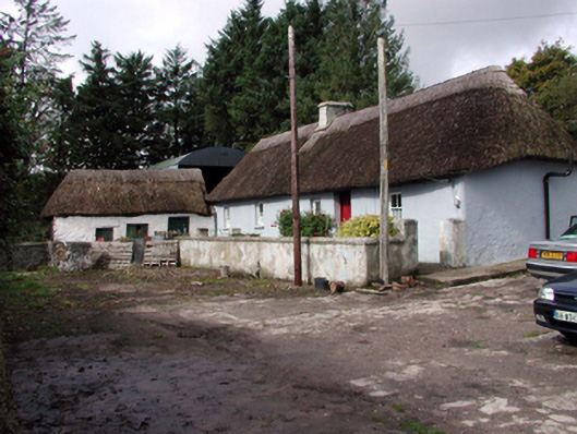 farm housefarm house · 1.3 mi
 Enclosure in Lyre MountainEnclosure · 1.4 mi
 Sandyhill Housecountry house · 1.9 mi
 European ashEuropean ash · 4.1 mi
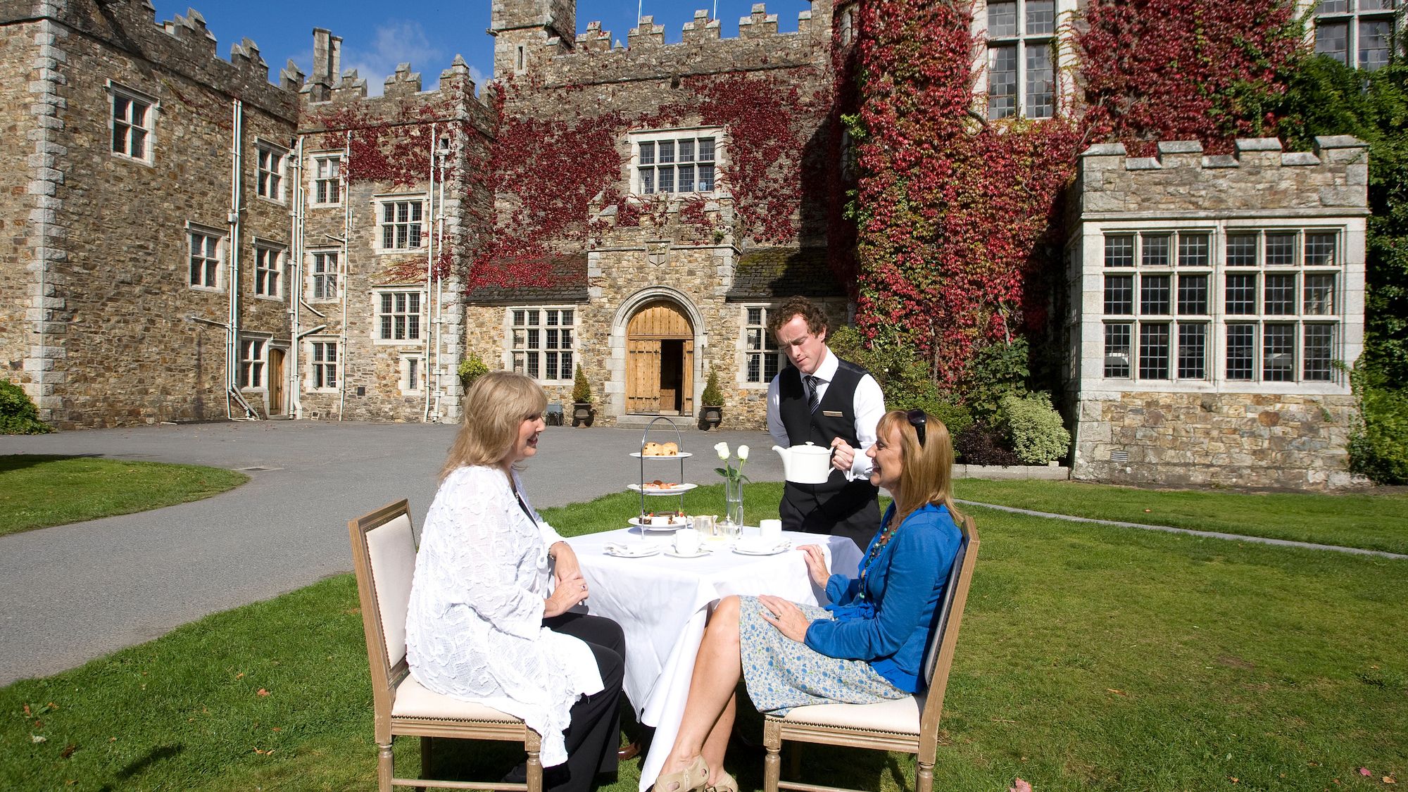 Castle Miles (in ruins)Castle, unclassified · 4.3 mi
 Molana AbbeyHeritage attraction · 4.3 mi
 Templemichael Castle (in ruins)Castle, tower house · 4.6 mi
 Salt HillMountain / peak · 4.8 mi
 Tallow HillMountain / peak · 5.1 mi
 Leahy's Open FarmHeritage attraction · 5.1 mi
 D'Loughtane WoodForest · 5.2 mi