What is recorded here
No reliable witness exists to judge the boundary between fantasy and truth.
The official Northern Ireland record identifies this as STANDING STONE. Recorded period: UNCERTAIN; PREHISTORIC. The official map point was placed at the centre of the recorded archaeological site from the source map reference.
Likely dating to the Neolithic or Bronze Age, this standing stone may have functioned as a territorial marker, ceremonial focus, or astronomical alignment point. No specific folklore or detailed use is recorded for this site.
The monument record does not grant public access. Check the route and ask the landowner before entering private land.
- What survives
- Recorded monument
Places near here
 Mullaghnagee WoodForest · 541 yd
 Doocarn WoodWood · 552 yd
 ENCLOSURE in TattinfreeENCLOSURE · 673 yd
 ENCLOSURE: GREEN HILL in TattinfreeENCLOSURE: GREEN HILL · 1191 yd
 LismaloreRuins · 2.2 mi
 Lady Brooke Memorial HallHall · 2.2 mi
 The Station House, BrookeboroughHeritage attraction · 2.4 mi
 "Fivemiletown Deli" G8 Virtual ShopHeritage attraction · 3.6 mi
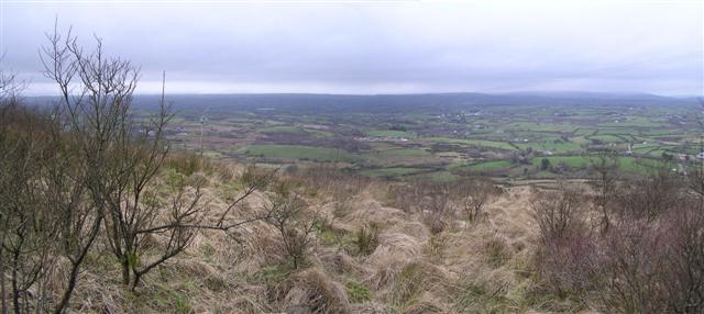 Brougher MountainMountain / peak · 5.8 mi
 IRA MemorialMemorial · 6.0 mi
 EschleaghMountain / peak · 6.5 mi
 CASTLE: CASTLE BALFOUR in Castle Balfour DemesneCASTLE: CASTLE BALFOUR · 7.0 mi