What is recorded here
Situated on a small NE-SW ridge of rock outcrop. This is a stone with a rectangular cross-section (dims. 0.18m x 0.23m; H 1.1m) and no discernible orientation.
The above description is derived from the published 'Archaeological Inventory of County Waterford' (Dublin: Stationery Office, 1999). In certain instances the entries have been revised and updated in the light of recent research.
Date of upload/revision: 23 December 2008
The monument record does not grant public access. Check the route and ask the landowner before entering private land.
- What survives
- Recorded monument
Places near here
 Holy well in LoughdeheenHoly well · 456 yd
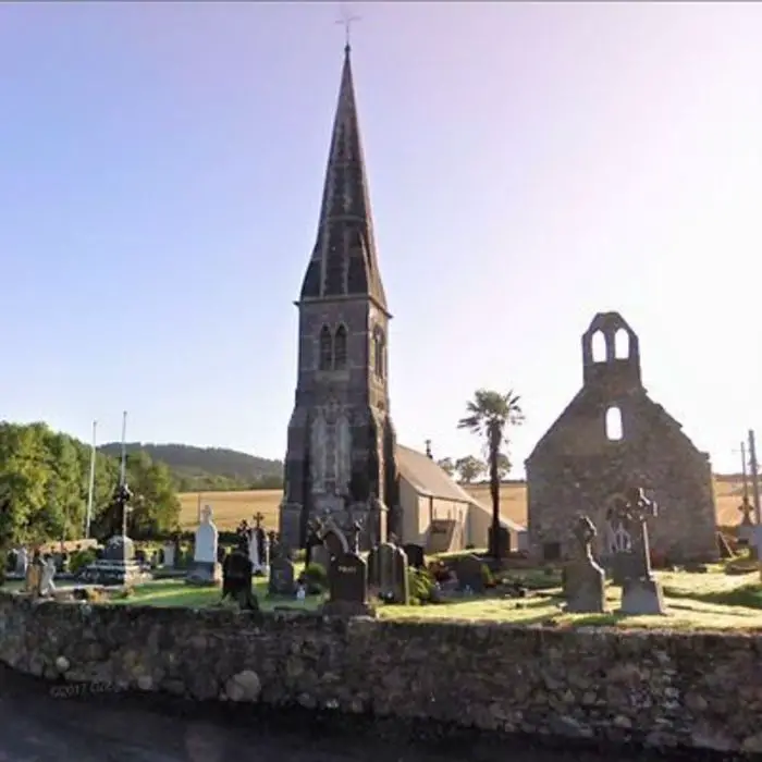 Church in LoughdeheenChurch · 478 yd
 Embanked enlcosureEnclosure · 945 yd
 Mote or TumulusCastle, motte · 1.1 mi
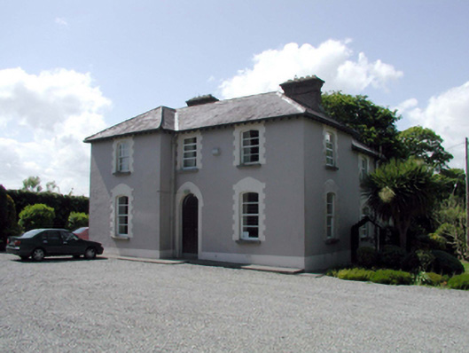 presbytery/parochial/curate's housepresbytery/parochial/curate's house · 1.6 mi
 Site of CastleCastle, unclassified · 1.9 mi
 Ballyscanlon HillMountain / peak · 2.4 mi
 Fenor BogNature reserve · 2.5 mi
 Sweet micheliaSweet michelia · 2.9 mi
 Mount Congreve GardensHeritage attraction · 3.0 mi
 Waterford & Suir Valley RailwayHeritage attraction · 3.2 mi
 St. Martin's WellSpring · 3.5 mi