What is recorded here
That is the name of this place: Standing stone in Loughane East. It is a standing stone in County Cork, Ireland. The facts above say it is in pasture, on a SW-facing slope, near another possible standing stone and a ringfort. Local information says the stone was originally standing, but now it lies prostrate with a large portion covered in grass.
In pasture, on SW-facing slope, c. 100m to W of possible standing stone (6797); ringfort (8490) c. 100m to W. According to local information stone was originally standing. Now lying prostrate and large portion is grass-covered.
The above description is derived from the published 'Archaeological Inventory of County Cork. Volume 3: Mid Cork' (Dublin: Stationery Office, 1997). In certain instances the entries have been revised and updated in the light of recent research.
Date of upload/revision: 14 January 2009
Probably dates to the Neolithic or Bronze Age, given its context with nearby prehistoric features. Likely had ceremonial or territorial significance, though specific meaning or folklore is not recorded.
The monument record does not grant public access. Check the route and ask the landowner before entering private land.
- What survives
- Recorded monument
Places near here
 Standing StoneArchaeological place · 254 yd
 Fulacht fia in Loughane EastFulacht fia · 733 yd
 Loughane Cottagehouse · 1395 yd
 Church in Killowen (muskerry East By.)Church · 1411 yd
 Castle (in Ruins)Castle, tower house · 1614 yd
 BatsVisitor information · 1.9 mi
 Garrycloyne Castle (in Ruins)Castle, tower house · 1.9 mi
 Lion RockNamed rock · 2.1 mi
 Pakie HoganMemorial · 2.1 mi
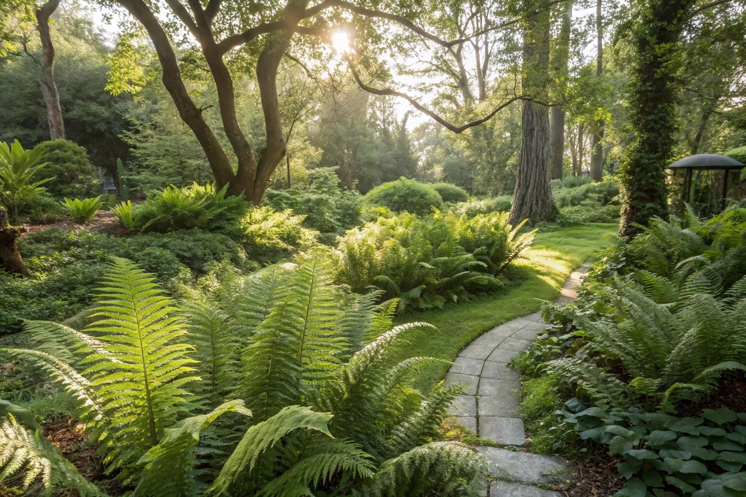 Fern GardenHeritage attraction · 2.1 mi
 Western RedcedarWestern Redcedar · 2.2 mi
 Badgers CaveCave · 2.3 mi