What is recorded here
Situated on a level landscape. This is a granite stone with a rectangular cross-section (dims 0.75m N-S; 0.6m E-W; H 1.93m) oriented NE-SW, with the top, which has a rectangular cross-section, sloping down to the N.
The above description is derived from the published 'Archaeological Inventory of County Wexford' (Dublin: Stationery Office, 1996). In certain instances the entries have been revised and updated in the light of recent research.
Compiled by: Michael Moore
Date of upload/revision: 25 March, 2014
Likely dating to the Neolithic or Early Bronze Age, this standing stone may have functioned as a boundary marker, ritual monument, or astronomical alignment feature. No specific folklore or detailed local tradition is recorded for this site.
The monument record does not grant public access. Check the route and ask the landowner before entering private land.
- What survives
- Recorded monument
Places near here
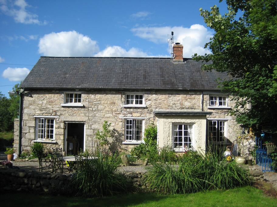 The Long StoneArchaeological place · 4 yd
 Wind Mill StumpWindmill · 340 yd
 CastleCastle, tower house · 464 yd
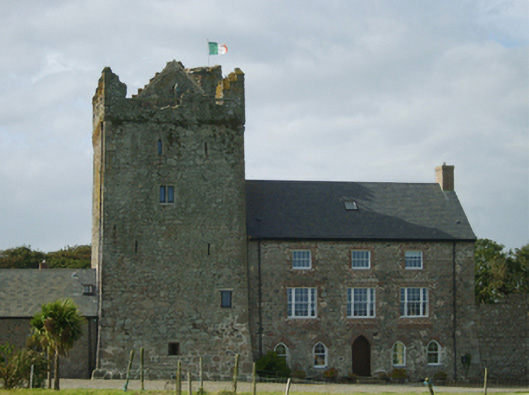 farm housefarm house · 471 yd
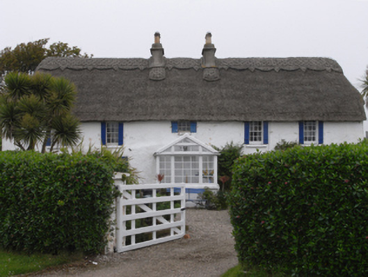 Clougheast Cottagehouse · 691 yd
 Site of CastleCastle, unclassified · 1080 yd
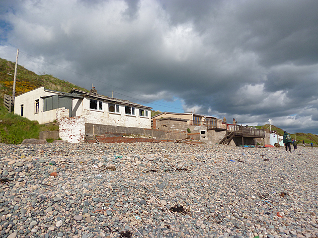 Nethertown BeachBeach / strand · 1093 yd
 The Caravan RockNamed rock · 1112 yd
 The CaamstoneNamed rock · 1351 yd
 Churchtown Beach / The Sandy GripeBeach / strand · 1570 yd
 Lifeboat MemorialMemorial · 1730 yd
 The Chour / The Hill of the ChourMountain / peak · 1.1 mi