What is recorded here
One standing stone in Listrolin, County Kilkenny. The facts stop there, but the shape of the gap is clear: a stone large enough to be called a monument, set in an ordinary Irish landscape where ordinary people lived. Perhaps it marked a boundary, a burial, a meeting place or a warning. Whatever it meant, it has outlasted every hand that pointed at it.
The Archaeological Survey of Ireland (ASI) is in the process of providing information on all monuments on The Historic Environment Viewer (HEV). Currently the information for this record has not been uploaded. To access available information for research purposes please make an appointment in advance with the Archive Unit (open Fridays 10.00 am – 5.00 pm), Department of Housing, Local Government and Heritage, The Custom House, Dublin 1 D01W6XO or email NMarchive@housing.gov.ie.
The monument record does not grant public access. Check the route and ask the landowner before entering private land.
- What survives
- Recorded monument
Places near here
 Enclosure in ListrolinEnclosure · 1 yd
 Rochestown Ringfort (rath)Archaeological place · 364 yd
 Ballynacooly Castle (Site of)Castle, unclassified · 605 yd
 Rochestown Castle (Site of)Castle, unclassified · 932 yd
 Poulanassy WaterfallWaterfall · 1732 yd
 The Setting Sunfarm house · 1.3 mi
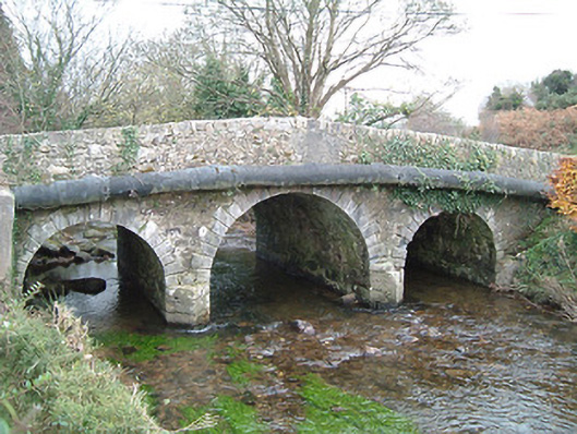 Walsh's Bridgebridge · 1.6 mi
 Clonassy WoodForest · 2.0 mi
 Corbally WoodForest · 2.0 mi
 Tory HillMountain / peak · 4.1 mi
 St. John's WellSpring · 4.4 mi
 Graveyard in FiddownGraveyard · 4.9 mi