What is recorded here
Lissan still keeps a name for the stone, though the stone has disappeared from every visible field. That absence is not a mistake of record, but a change of world: water, soil or forgetting took what the name still points to. The challenge is to find the place where memory stopped matching the landscape, not to invent a stone that never answered back.
The official Northern Ireland record identifies this as STANDING STONE. Recorded period: PREHISTORIC; UNCERTAIN. Recorded protection: Scheduled. The official map point was placed at the centre of the recorded archaeological site from the source map reference.
The monument record does not grant public access. Check the route and ask the landowner before entering private land.
- What survives
- Recorded monument
Places near here
 Holy Trinity ChurchChurch · 1005 yd
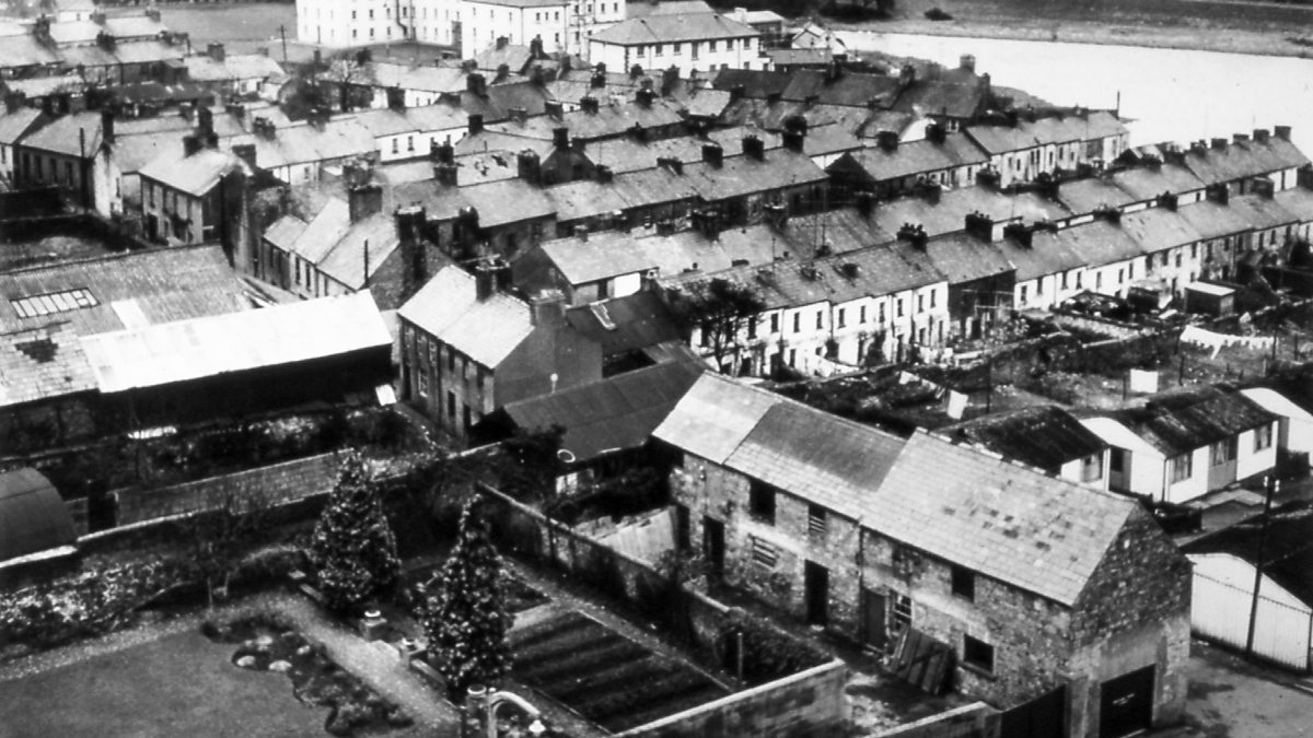 ENCLOSURE in BallydoolaghENCLOSURE · 1324 yd
 ENCLOSURE in LargyENCLOSURE · 1.2 mi
 PENAL CHURCH in BallylucasPENAL CHURCH · 1.9 mi
 Coneyburrow WoodWood · 2.1 mi
 Limekiln Bog WoodWood · 2.1 mi
 Topped MountainMountain / peak · 2.2 mi
 Pump houseHeritage attraction · 2.4 mi
 Cloghtogle MountainMountain / peak · 2.4 mi
 Castle CooleCountry House · 2.5 mi
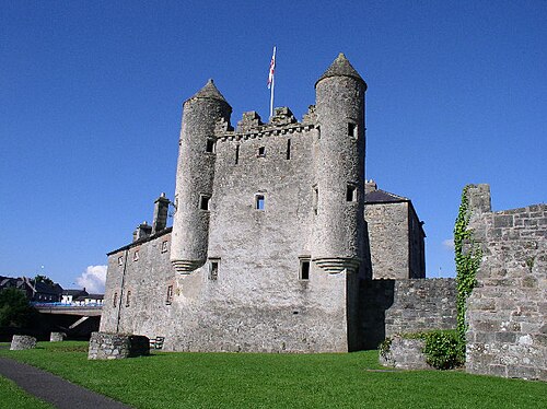 Siege of Enniskillensiege · 2.9 mi
 War MemorialMemorial · 2.9 mi