What is recorded here
In pasture, on a SE-facing slope. A limestone upright (H 1.35m; Wth 0.35m; T 0.27m), leaning slightly to the SE, with its long axis aligned NE-SW. It is rectangular is profile and section, though it tapers slightly with height (at the top: Wth 0.35m; T 0.18m). Its edges have been rubbed smooth by cattle.
Compiled by: Denis Power
Date of upload: 26 August 2011
Dated to the Late Neolithic or Early Bronze Age, this standing stone may have functioned as a territorial marker or part of a ritual landscape. No specific folklore or inscriptions are recorded, though its alignment and positioning suggest possible ceremonial or astronomical significance.
The monument record does not grant public access. Check the route and ask the landowner before entering private land.
- What survives
- Recorded monument
Places near here
 Castle (in ruins)Castle, tower house · 956 yd
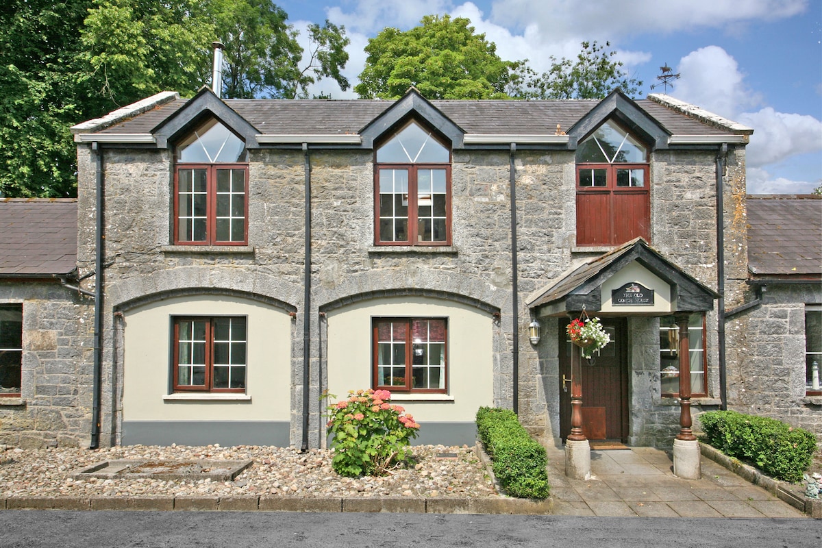 Enclosure in CahermoyleEnclosure · 1026 yd
 Mound in Ballyegny BegMound · 1219 yd
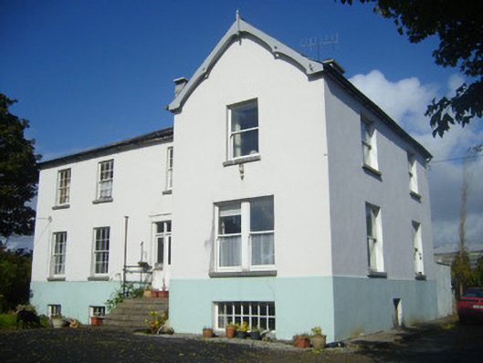 Rathronan Houserectory/glebe/vicarage/curate's house · 1327 yd
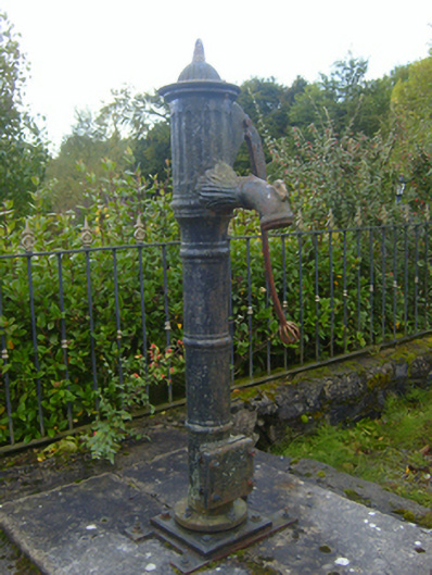 water pumpwater pump · 1471 yd
 CahermoyleCastle, unclassified · 1722 yd
 St. Luke's WellSpring · 1.0 mi
 St. Kieran's WellSpring · 2.6 mi
 European ashEuropean ash · 5.1 mi
 Limerick GreenwayWalking route · 5.4 mi
 Monterey CypressMonterey Cypress · 7.0 mi
 Gammarel PointHeadland · 7.0 mi