What is recorded here
On the SW slope of Diamond Hill in Letterfrack, a rectangular stone with quartz veins rises one metre through heather beside the Sruffaunnanoon river. It is small enough to overlook, yet it faces the ocean and Bunowen Hill as if marking a boundary between land, water and sky. Perhaps people once read that alignment when the bog was wet and the lake bed gleamed to the west.
Located in Letterfrack National Park in an area of bogland on the SW slope of Diamond Hill and on the N bank of the Sruffaunnanoon river, close to its source; a small lake bed is visible to the W. There are clear views of the ocean further to the W and Bunowen Hill to the SW. This possible standing stone (H 1m; Wth 0.41m; T 0.3m), of local stone with quartz veins, is rectangular in plan. Moss and lichen are visible on it and its lower section is obscured by heather. This monument was brought to the attention of the Archaeological Survey of Ireland by Helen Riekstiņš.
Compiled by: Olive Alcock with information supplied by Helen Riekstiņš
Date of upload: 12 June 2019
Likely dating to the Bronze Age, this standing stone may have functioned as a territorial marker or ceremonial focus within a landscape rich in prehistoric activity. Local folklore sometimes associates such stones with ancient burial sites or as places of spiritual significance, though specific traditions for this site are not recorded.
The monument record does not grant public access. Check the route and ask the landowner before entering private land.
- What survives
- Recorded monument
Places near here
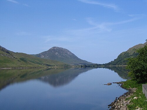 Binn GhuaireMountain / peak · 711 yd
 Hut site in Addergoole (ballynahinch By.)Hut site · 1151 yd
 Booley hut in Addergoole (ballynahinch By.)Booley hut · 1498 yd
 Connemara National ParkNational park · 1647 yd
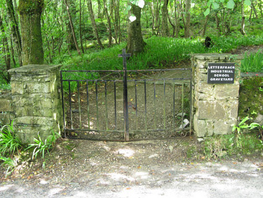 graveyard/cemeterygraveyard/cemetery · 1710 yd
 The Monasterymonastery · 1.0 mi
 Cabbage treeCabbage tree · 1.4 mi
 Cnoc BreacMountain / peak · 1.5 mi
 Monterey PineMonterey Pine · 1.7 mi
 Doughruagh South TopMountain / peak · 2.2 mi
 RoeillaunIslet · 3.1 mi
 Lettergesh BeachBeach / strand · 4.3 mi