What is recorded here
Mnemo deleted the distinction between living and remembering. She crossed the edge and became the dataset. The chamber is still breathing, waiting for the person who broke the edge to return.
In recently reclaimed land on S-facing slope; upright stone (H c. 1.1m; Wth 1m).
The above description is derived from the published 'Archaeological Inventory of County Cork. Volume 1: West Cork' (Dublin: Stationery Office, 1992). In certain instances the entries have been revised and updated in the light of recent research.
Date of upload/revision: 14 January 2009
The monument record does not grant public access. Check the route and ask the landowner before entering private land.
- What survives
- Recorded monument
Places near here
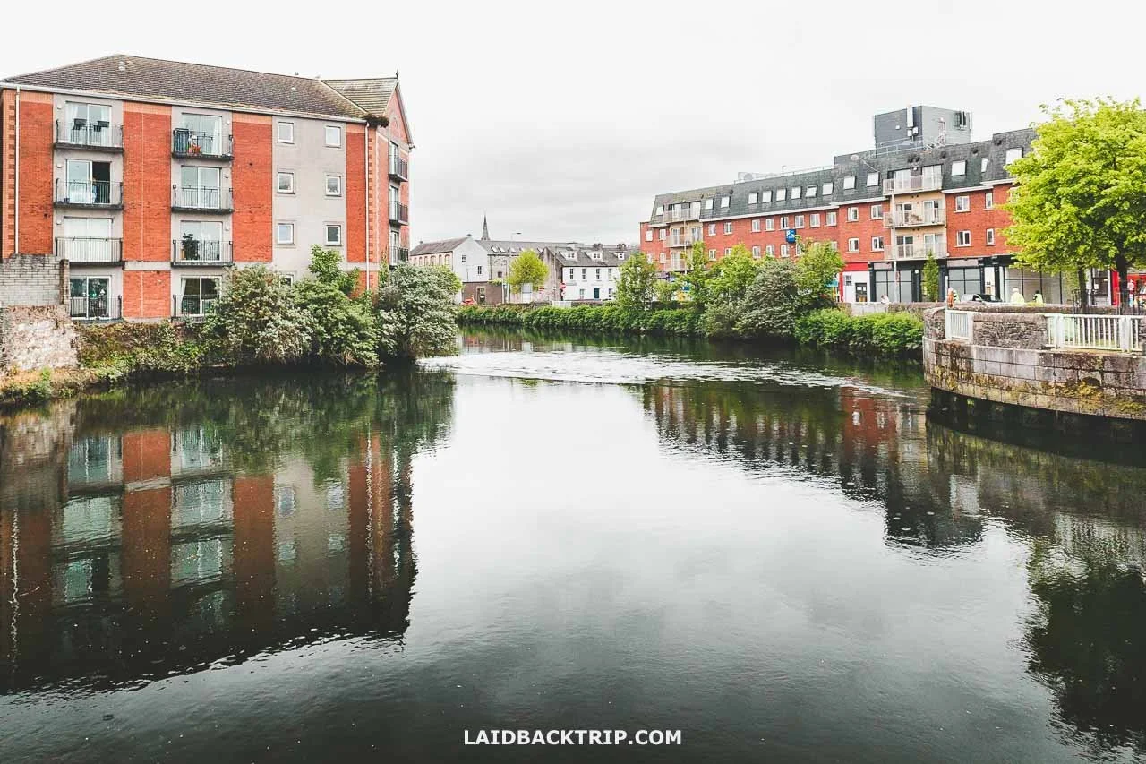 IndicatedEnclosure · 316 yd
 Hut site in Garranes NorthHut site · 1231 yd
 Nowen Hill SW TopMountain / peak · 1396 yd
 Nowen HillMountain / peak · 1.4 mi
 Castle Donovan (in Ruins)Castle, tower house · 1.4 mi
 Castle DonovanCastle · 1.4 mi
 KilnKiln, corn-drying · 1.5 mi
 Delish Cascade WalkWalking route · 1.7 mi
 Drimoleague Heritage Loop WalkWalking route · 2.7 mi
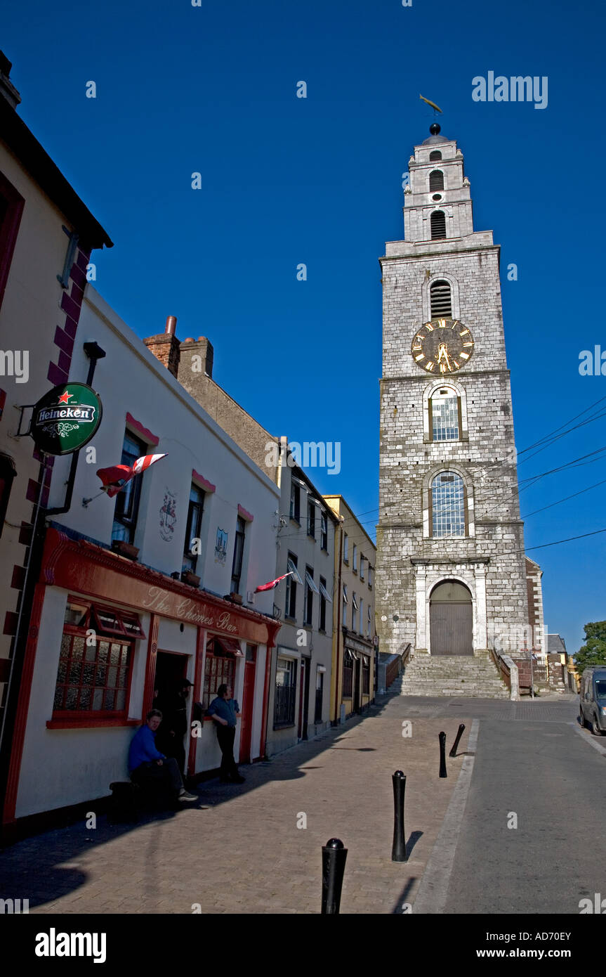 Church (in Ruins)Church · 2.8 mi
 Kealkill stone circleVisitor information · 5.7 mi
 Snave StrandBeach / strand · 8.7 mi