What is recorded here
Leitrim More, hilly pastureland, County Galway, Ireland. One stone stands, another lies broken, ninety metres apart. The landowner remembers height; the ground remembers only a small irregular piece that refuses to move. Both are still there, doing nothing visible, waiting to be seen as stones rather than measured as ruins.
In hilly pastureland, some 90m to the SE of another possible standing stone (GA116-087----). Indicated and named 'Stone' in Roman script on the 1838 edition of the OS 6-inch map. On inspection all that was visible was a small stone, which was irregular in shape and only a few centimetres above the ground surface. According to the landowner, it originally was very high but it was broken up years ago. The remaining piece could not be moved. Possibly a standing stone.
Compiled by: Galway Archaeological Survey, UCG
Date of upload: 18 December 2019
The monument record does not grant public access. Check the route and ask the landowner before entering private land.
- What survives
- Recorded monument
Places near here
 Castle (in ruins)Castle, tower house · 351 yd
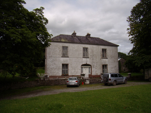 Carrowkeel Housecountry house · 576 yd
 R.C. ChapelChurch · 632 yd
 St Erneens WellHoly well · 1490 yd
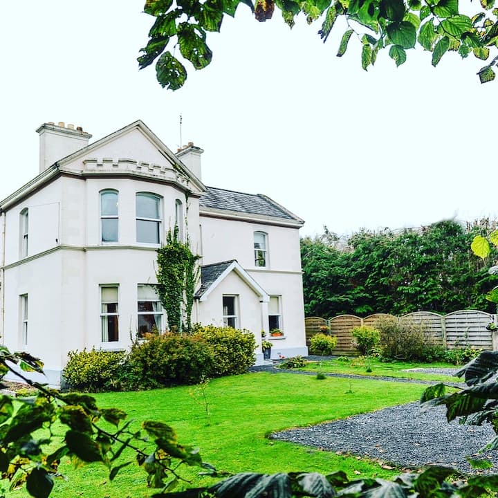 Enclosure in Dalystown DemesneEnclosure · 1592 yd
 Ballynamantragh CastleCastle, unclassified · 1.0 mi
 Stone Islands SouthIslet · 3.8 mi
 Long PointHeadland · 4.0 mi
 Island McCooIslet · 4.1 mi
 Dartfield Horse MuseumHeritage attraction · 4.4 mi
 Quarryhill WoodWood · 4.6 mi
 Bog WoodForest · 5.1 mi