What is recorded here
Standing stone in Lehid (glanarought By.) stands thirty metres from a boulder-burial, overlooking a river valley in County Kerry. The square stone reaches 1.5 metres on a NE-facing pasture slope. It is not a monument to a named hero or a dated battle. It is a marker beside a grave, perhaps placed by someone who loved the view and wanted the dead to keep it.
In pasture, on a NE-facing slope, overlooking a river valley. This standing stone (0.55m x 0.5m; H 1.5m) is roughly square in plan and is orientated NNE-SSW. There is a boulder-burial (KE109-035001-) c. 30m to the SE.
The above description is derived from the published 'Archaeological Inventory of County Kerry. Volume I: South-West Kerry' (Dublin: Stationery Office, 2009). In certain instances the entries have been revised and updated in the light of recent research.
Date of upload: 30 May 2011
Probably dating to the Neolithic or Early Bronze Age, this standing stone may have had ritual or territorial significance, possibly linked to the nearby boulder-burial as part of a funerary or ceremonial landscape. Local folklore or specific use is not recorded.
The monument record does not grant public access. Check the route and ask the landowner before entering private land.
- What survives
- Recorded monument
Places near here
 Burnt spread in Lehid (glanarought By.)Burnt spread · 101 yd
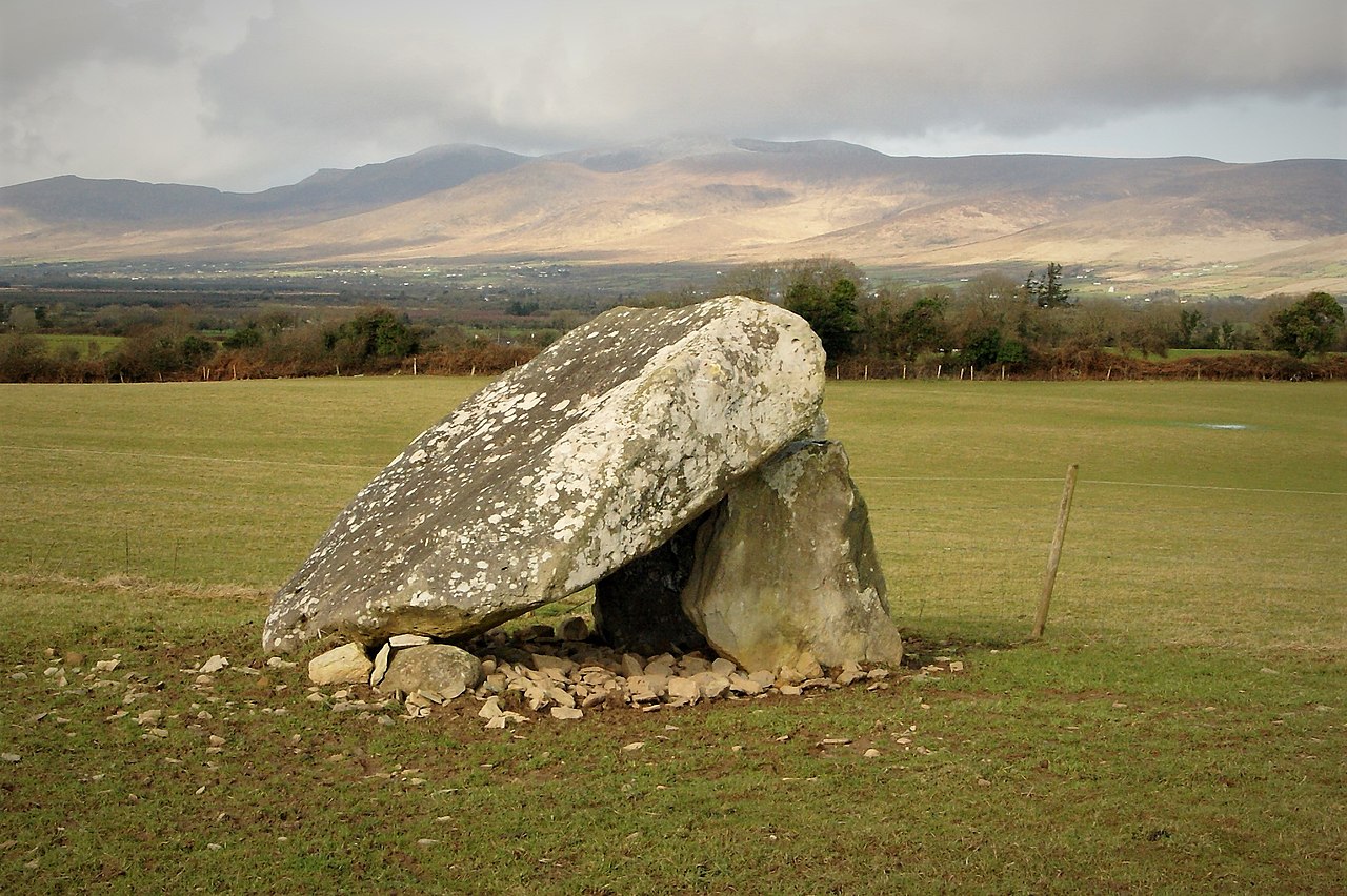 Megalithic structure in Lehid (glanarought By.)Megalithic structure · 478 yd
 DrombohillyMountain / peak · 766 yd
 KnockateeMountain / peak · 1063 yd
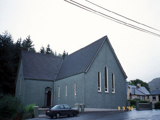 Saint Killian's Catholic Churchchurch/chapel · 1.2 mi
 Bridge in Derreen (glanarought By.)Bridge · 1.3 mi
 Habitat of DerreeniesNature reserve · 1.3 mi
 New Zealand broadleafNew Zealand broadleaf · 1.4 mi
 Ormond's IslandIslet · 2.9 mi
 DroppaCliff · 3.2 mi
 Rossmore IslandIsland · 3.2 mi
 Lackeen PointHeadland · 4.5 mi