What is recorded here
In Legnagay More, County Fermanagh, a standing stone has watched the land since the C18TH. It rises without apology, marking the edge of human memory and the reach of forgotten life. The stone does not need explanation; it only waits for people busy enough to stop seeing the world as a temporary arrangement.
The official Northern Ireland record identifies this as STANDING STONE. Recorded period: C18TH. The official map point was placed at the centre of the recorded archaeological site from the source map reference.
The monument record does not grant public access. Check the route and ask the landowner before entering private land.
- What survives
- Recorded monument
Places near here
 ENCLOSURE in TreelENCLOSURE · 1049 yd
 MEDIEVAL CHURCH DOORWAY in FarnaconnellMEDIEVAL CHURCH DOORWAY · 1113 yd
 Pollnagollum CaveCave · 1133 yd
 AP CropmarkAP Cropmark, Enclosure or possible bivallate rath · 1372 yd
 Belmore MountainMountain / peak · 1.8 mi
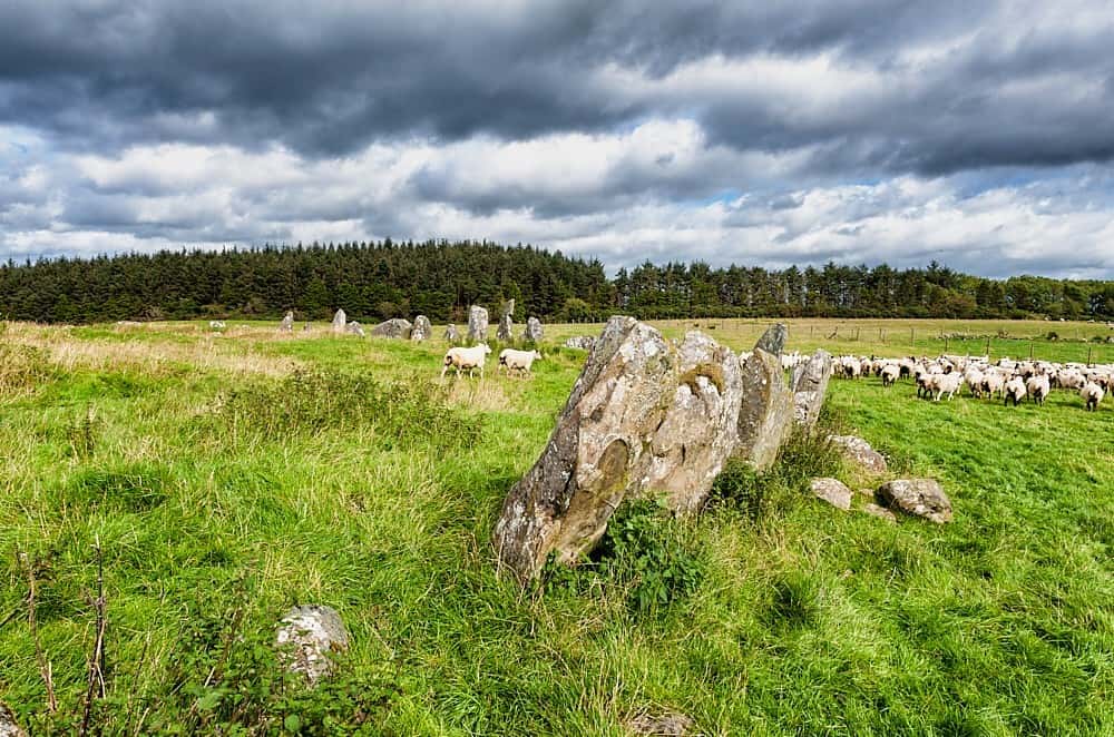 Cloughbeach Stone CircleArchaeological place · 2.7 mi
 Ballintempo ForestForest · 3.1 mi
_-_geograph.org.uk_-_167630.jpg?width=1280) Mullaghdun Rc ChurchChurch · 3.2 mi
Mullaghdun Rc ChurchChurch · 3.2 mi AughrimMountain / peak · 3.5 mi
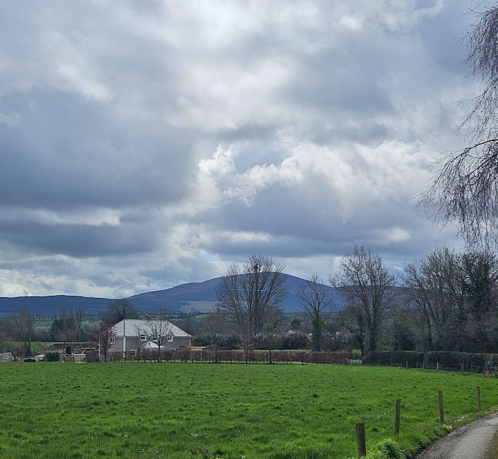 PLANTATION BAWN (unlocated) in MoyglassPLANTATION BAWN (unlocated) · 3.7 mi
 Saint Patrick's Holy WellSpring · 4.0 mi
 Teampull RuisínHeritage attraction · 4.1 mi