
What is recorded here
AP Cropmark in County Fermanagh appears as a ghost enclosure or possible bivallate rath, its uncertain age preserved only in the shape of the land itself. The soil may still hold the memory of dual ditches or a simple boundary, waiting for rain or harvest to reveal what human hands built and forgot.
The official Northern Ireland record identifies this as AP Cropmark - Enclosure or possible bivallate rath. Recorded period: UNCERTAIN. The official map point was placed at the centre of the recorded archaeological site from the source map reference.
The monument record does not grant public access. Check the route and ask the landowner before entering private land.
- What survives
- Recorded monument
Places near here
 ENCLOSURE in TreelENCLOSURE · 993 yd
 Pollnagollum CaveCave · 1221 yd
 ENCLOSURE in DrummacoorinENCLOSURE · 1680 yd
 Belmore MountainMountain / peak · 1.1 mi
 MEDIEVAL CHURCH DOORWAY in FarnaconnellMEDIEVAL CHURCH DOORWAY · 1.3 mi
_-_geograph.org.uk_-_167630.jpg?width=1280) Mullaghdun Rc ChurchChurch · 2.6 mi
Mullaghdun Rc ChurchChurch · 2.6 mi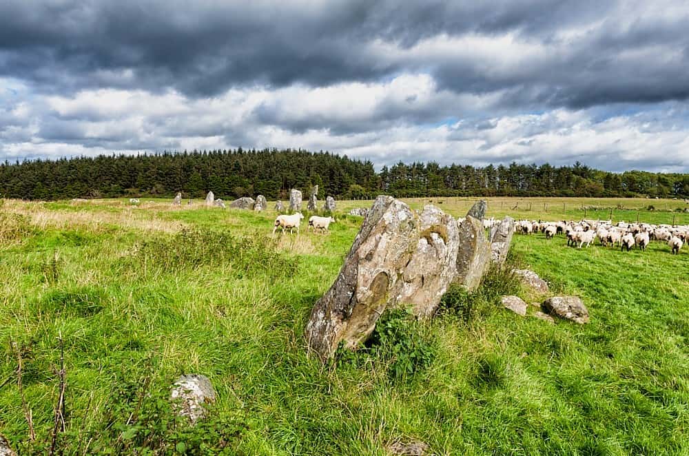 Cloughbeach Stone CircleArchaeological place · 3.0 mi
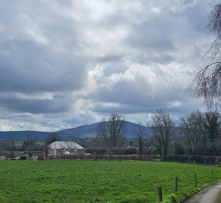 PLANTATION BAWN (unlocated) in MoyglassPLANTATION BAWN (unlocated) · 3.3 mi
 AughrimMountain / peak · 3.4 mi
 Ballintempo ForestForest · 3.7 mi
 InisheeIsland · 4.0 mi
 Corry PointHeadland · 4.1 mi
Other information
Photo: Credit not shown in the picture search · Rights wording not checked; contact us if this picture should be removed