What is recorded here
Knocklong East holds a four-foot limestone dallan beside O’Hurley Castle, not on modern maps but remembered in a field where church and graveyard still cluster. It leans at a precipice edge, in peril of falling into hidden ground. Perhaps people once set it where the land could be read, or perhaps it is only a rock the valley refused to swallow. Either way it remains a living marker, waiting for someone to stop and notice.
In pasture, in the vicinity of Knocklong church (LI041-004002-), graveyard (LI041-004003-) and O’Hurley Castle (LI041-004005-). Not marked on OSi historic maps. Described by Lenihan(1866, 735) as following: ‘On the summit of the hill, in a field to the south west, there is a lime stone dallan about four feet thirteen inches thick [1.25m]. It stands now on the edge of a lime-stone precipice, and is in peril. Nothing is known of its history’. The precise location of this stone has not been identified.
Compiled by: Fiona Rooney
Date of upload: 27 May 2021
The monument record does not grant public access. Check the route and ask the landowner before entering private land.
- What survives
- Recorded monument
Places near here
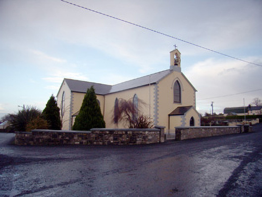 Saint Joseph's Catholic Churchchurch/chapel · 81 yd
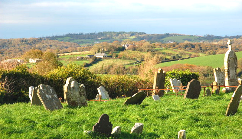 Grave YardGraveyard · 245 yd
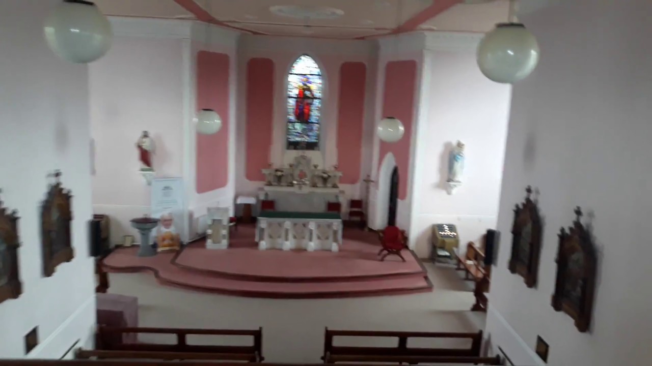 Church (in Ruins)Church · 255 yd
 Castle (in ruins)Castle, tower house · 342 yd
 St. Patricks and St Pauls WellsHoly well · 431 yd
 St Patrick's WellSpring · 437 yd
 Edmund's WellSpring · 1.3 mi
 Mote - HachuredCastle, motte · 1.7 mi
 Ballinvreena LoopVisitor information · 2.8 mi
 SlievereaghMountain / peak · 3.4 mi
 Flat cemetery in Knockainy WestFlat cemetery · 3.6 mi
 Palatine's RockNamed rock · 5.0 mi