What is recorded here
Situated on the crest of an E-W ridge in tillage. A limestone rock, aligned N-S, being higher at the S end (H 2.15m; dims. 0.85m x 0.66m).
The above description is derived from 'The Archaeological Inventory of County Tipperary. Vol. 1 - North Tipperary' compiled by Jean Farrelly and Caimin O'Brien (Dublin: Stationery Office, 2002). In certain instances the entries have been revised and updated in the light of recent research.
Date of upload/revision: 22 September 2008
Likely dating to the Late Neolithic or Bronze Age, this standing stone may have functioned as a territorial marker, ceremonial focus, or astronomical alignment point. No specific folklore or detailed use is recorded for this site.
The monument record does not grant public access. Check the route and ask the landowner before entering private land.
- What survives
- Recorded monument
Places near here
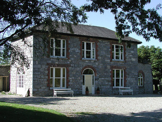 Knockalton Househouse · 388 yd
 Enclosure in LisbunnyEnclosure · 685 yd
 Lisbunny ChurchChurch · 766 yd
 Lisbunny CastleCastle, hall-house · 803 yd
 Fulacht fia in BallintottyFulacht fia · 1063 yd
 Rathurles CastleCastle · 1.1 mi
 Old BarracksHeritage attraction · 1.7 mi
 Gibbet HillMountain / peak · 1.7 mi
 Nenagh Heritage CentreMuseum · 1.9 mi
 James Devaney MemorialMemorial · 2.7 mi
 Knockacraheen HillMountain / peak · 4.8 mi
 Sweet ChestnutSweet Chestnut · 4.9 mi