What is recorded here
Kilrobert holds a standing stone from the prehistoric dark, when people knew the land before written rules. Its age remains uncertain, but its shape is clear: a vertical marker in County Antrim, watching fields, weather and memory. Perhaps it guided a family, marked a boundary or watched a road now lost. It still stands because stone does not argue with time.
The official Northern Ireland record identifies this as STANDING STONE. Recorded period: UNCERTAIN; PREHISTORIC. The official map point was placed at the centre of the recorded archaeological site from the source map reference.
Likely dating to the Neolithic or Bronze Age, this standing stone may have served a ceremonial, astronomical, or territorial function. No specific folklore or detailed local tradition is recorded for this site.
The monument record does not grant public access. Check the route and ask the landowner before entering private land.
- What survives
- Recorded monument
Places near here
 ENCLOSURE or MOUND & PIT BURIAL in DrumacullinENCLOSURE or MOUND & PIT BURIAL · 924 yd
 ENCLOSURE (destroyed rath) & Man-made underground passages in DuncarbitENCLOSURE (destroyed rath) & Man-made underground passages · 1003 yd
 KnocklaydMountain / peak · 1.2 mi
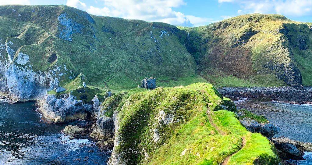 CASTLE? Unlocated in Doonfin (possible)CASTLE? Unlocated · 1.3 mi
 Ballycastle ForestForest · 1.8 mi
 CASTLE (destroyed): CASTLE CULBERT in BrackneyCASTLE (destroyed): CASTLE CULBERT · 1.8 mi
 Ballypatrick ForestForest · 2.9 mi
 Culfeightrin ChurchChurch · 3.0 mi
 Ballypatrick Forest Trails - 1 Cairn TrailWalking route · 3.1 mi
 Holy Trinity ChurchChurch · 3.1 mi
 Ballycastle MuseumMuseum · 3.1 mi
 Ballycastle BeachBeach / strand · 3.2 mi