What is recorded here
Kilnadore holds a standing stone from the prehistoric dark, when people knew the land before writing existed. The rock still points upward through grass and sky, waiting for hands that vanished centuries ago. It may have marked a boundary, a burial place or a prayer path, yet no human voice remains to confirm which. The stone does not need confirmation. It stands because it has always stood, patient against forgetting.
The official Northern Ireland record identifies this as STANDING STONE. Recorded period: UNCERTAIN; PREHISTORIC. The official map point was placed at the centre of the recorded archaeological site from the source map reference.
Likely dating to the Neolithic or Bronze Age, this standing stone may have served a ceremonial, astronomical, or territorial function. No specific folklore or detailed meaning is recorded for this site.
The monument record does not grant public access. Check the route and ask the landowner before entering private land.
- What survives
- Recorded monument
Places near here
 Central BarPublic House · 208 yd
 Sundial HouseHouse · 253 yd
 The Glens of AntrimViewpoint · 326 yd
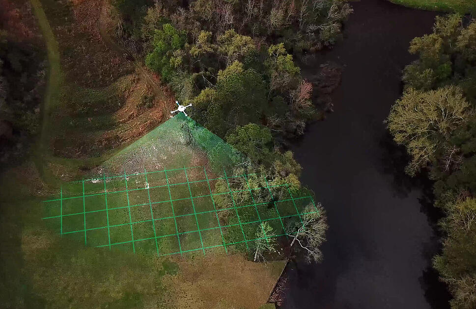 LiDAR site- Circular enclosure in CushendallLiDAR site- Circular enclosure · 384 yd
 ENCLOSURE in KnockenyENCLOSURE · 576 yd
 Red Bay CastleArchaeological place · 1546 yd
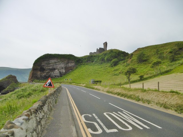 MOTTE; TWO BAILEYS; TOWER-HOUSE; CURTAIN WALL; possible site of PROMONTORY FORT: RED BAY CASTLE in Red BayMOTTE; TWO BAILEYS; TOWER-HOUSE; CURTAIN WALL; possible site of PROMONTORY FORT: RED BAY CASTLE · 1551 yd
 LurigethanMountain / peak · 1.3 mi
 TievebulliaghMountain / peak · 2.7 mi
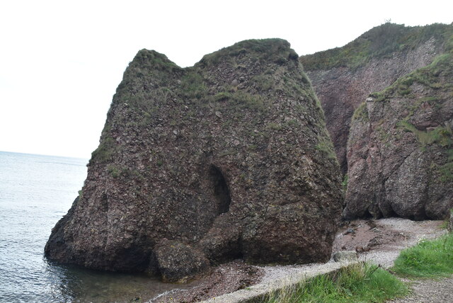 Caves of CushendunHeritage attraction · 3.3 mi
 The White LadyNamed rock · 3.9 mi
 Ess-Na-Crub WaterfallWaterfall · 4.5 mi