What is recorded here
Kilnacranagh East holds a one-metre rectangular stone aligned northeast to southwest, standing in tillage above wide southern and eastern views. Its flat, deliberate shape suggests human placement rather than random rockfall, yet no name, date or event survives to confirm the hand that set it. The stone may have marked a boundary, a path or a memory now lost, while still facing the horizon like a sentinel that forgot the war but never stopped watching.
In tillage commanding extensive views to S and E. Rectangular stone (H 1m; 1m x 0.24m) aligned NE-SW. (CMSS).
The above description is derived from the published 'Archaeological Inventory of County Cork. Volume 1: West Cork' (Dublin: Stationery Office, 1992). In certain instances the entries have been revised and updated in the light of recent research.
Date of upload/revision: 14 January 2009
Dated to the Late Neolithic or Bronze Age, this standing stone may have had ceremonial or territorial significance. Its alignment and prominent position suggest a possible role in ritual activity or as a marker within the landscape.
The monument record does not grant public access. Check the route and ask the landowner before entering private land.
- What survives
- Recorded monument
Places near here
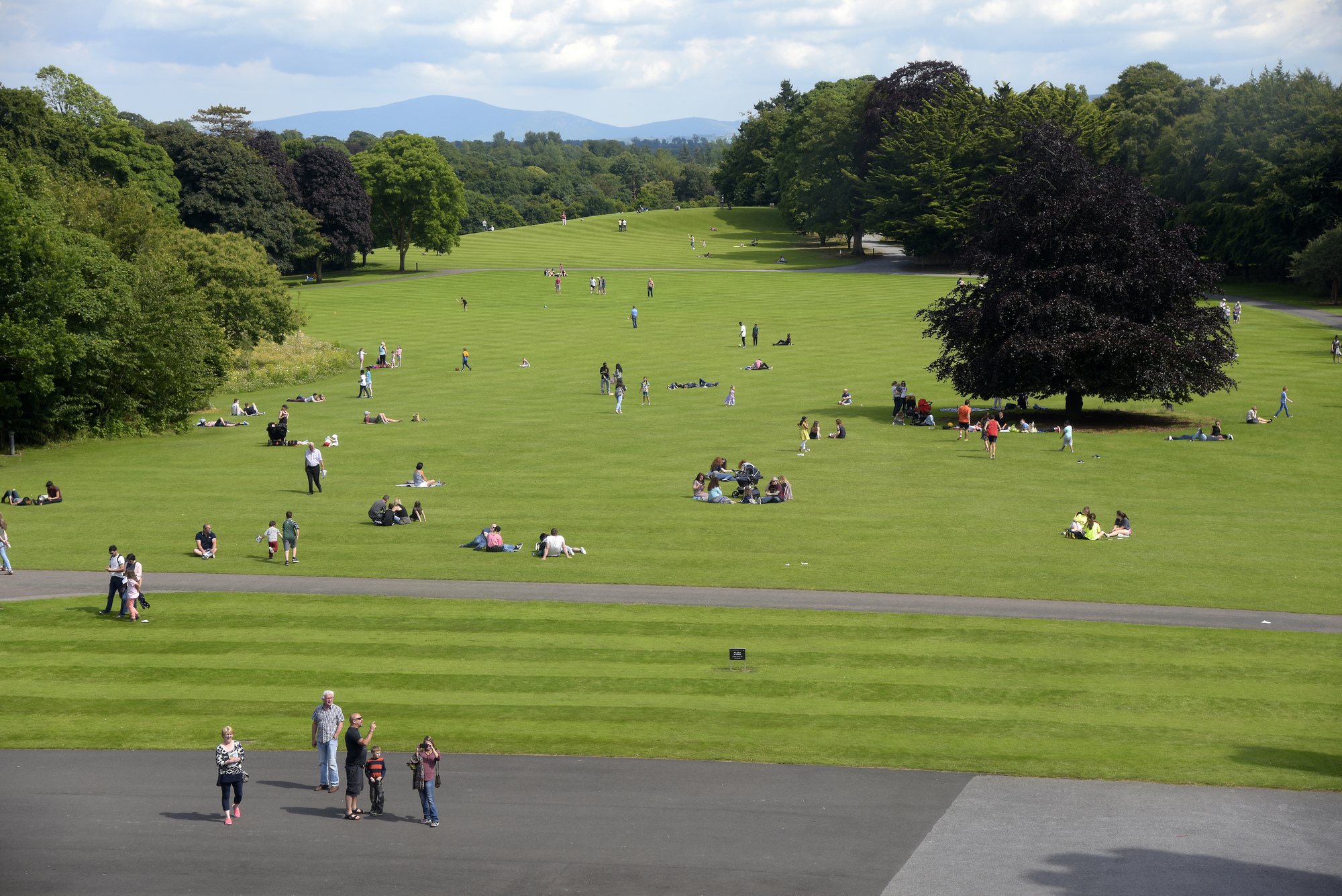 ParknakillaBurial ground · 1203 yd
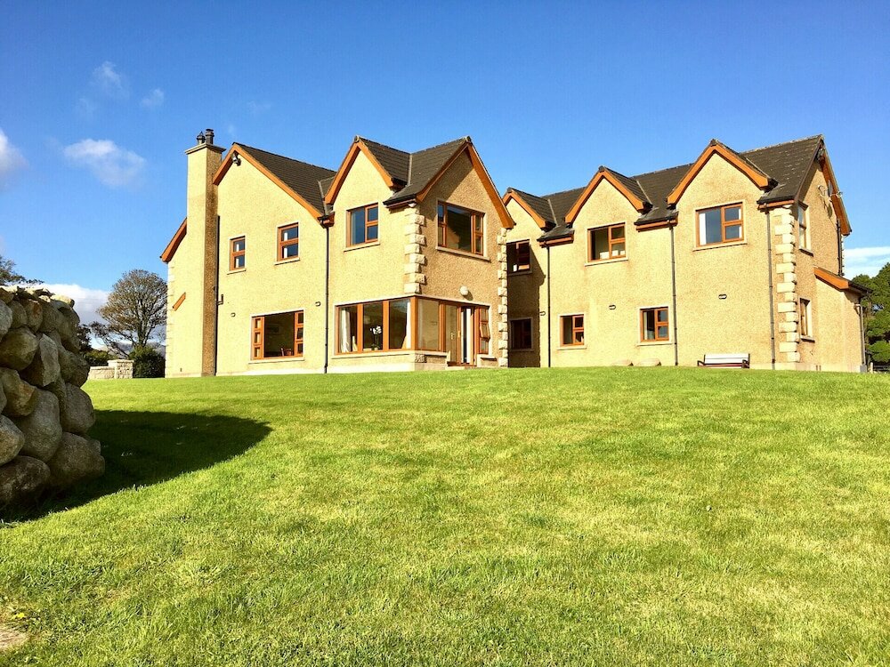 Country house in KillaneerCountry house · 1379 yd
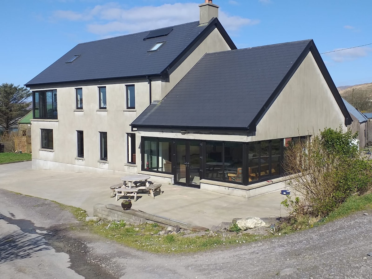 Killaneer HouseRuins · 1390 yd
 Fulacht fia in Teadies UpperFulacht fia · 1638 yd
 Green HillMountain / peak · 2.9 mi
 The GlenWood · 3.0 mi
 Tobar MacloonaboySpring · 3.5 mi
 Castle DerryCastle · 3.5 mi
 Castle RockNamed rock · 3.5 mi
 Irish National Forestry FoundationNature reserve · 4.2 mi
 Corran HillMountain / peak · 4.3 mi
 Towers (in Ruins)House, fortified house · 4.5 mi