What is recorded here
A tall stone still stands in Kilmahamogue, County Antrim, though no date or builder is certain. It may have marked a boundary, a burial, a meeting place or a warning to travellers in dark fields. People walked past it for generations before writing, watching storms or dropping food at its base. The stone does not need a name to be ancient, nor a date to be alive in memory.
The official Northern Ireland record identifies this as STANDING STONE. Recorded period: PREHISTORIC; UNCERTAIN. The official map point was placed at the centre of the recorded archaeological site from the source map reference.
Likely dating to the Neolithic or Bronze Age, this standing stone may have served a ceremonial, ritual, or territorial function. No specific folklore or detailed meaning is recorded for this site.
The monument record does not grant public access. Check the route and ask the landowner before entering private land.
- What survives
- Recorded monument
Places near here
 CHURCH: KILLYDAGHTAN (OS memoir site; unlocated) in KilmahamogueCHURCH: KILLYDAGHTAN (OS memoir site; unlocated) · 890 yd
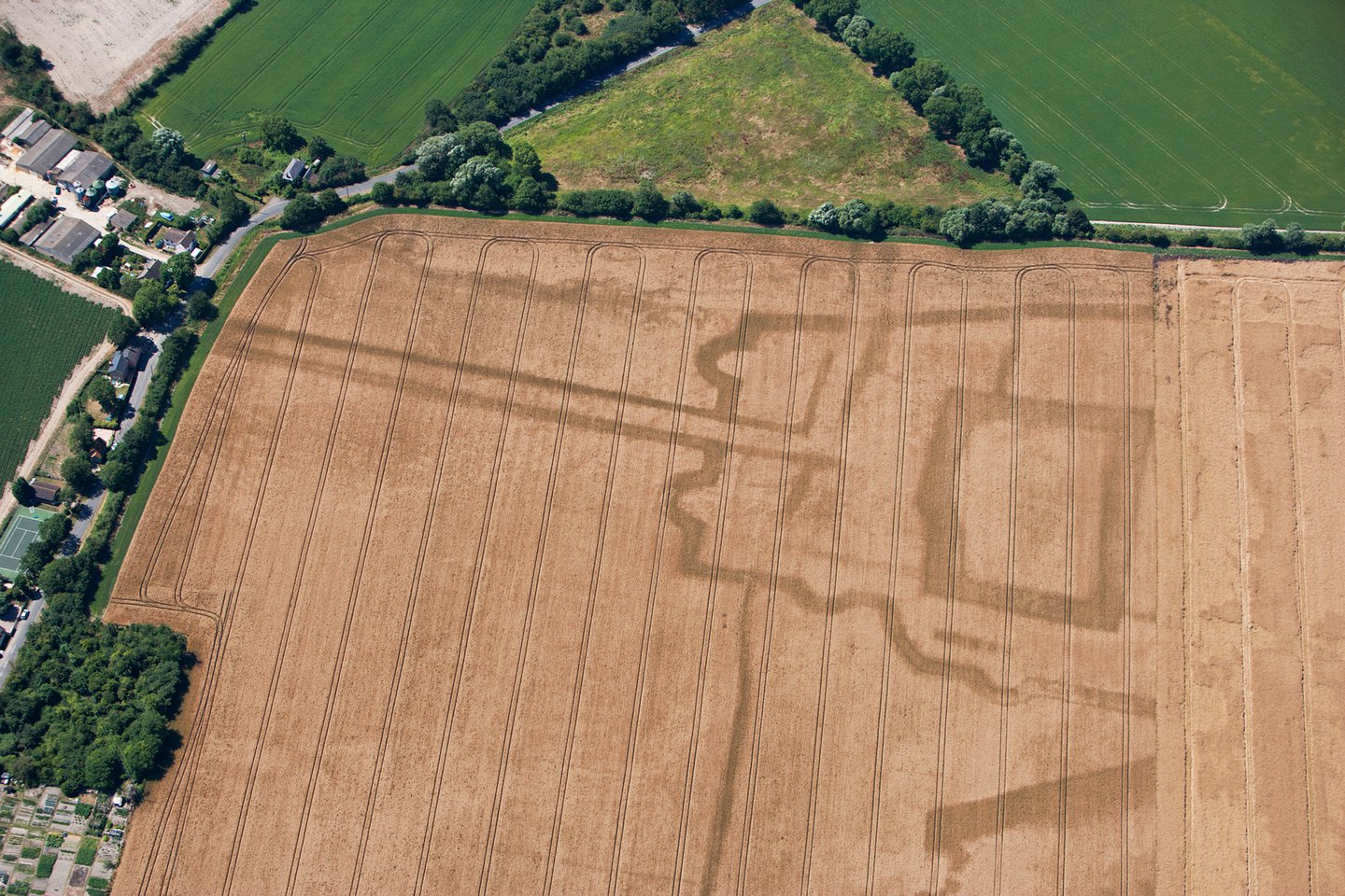 A.P. SITEA.P. SITE, cropmark of enclosure with ?annexe · 1.1 mi
 Drumtullagh Parish ChurchChurch · 1.5 mi
 Kilmoyle WoodForest · 1.8 mi
 Ramoan Presbyterian ChurchChurch · 2.1 mi
 White Park BayVisitor information · 3.2 mi
 MOTTE WITH CASTLE RUINS & Man-made underground passage in CloghanmurryMOTTE WITH CASTLE RUINS & Man-made underground passage · 3.3 mi
 The Dark HedgesViewpoint · 3.5 mi
 RECTANGULAR CROPMARKRECTANGULAR CROPMARK, CASTLE?: CASTLE BANE · 4.2 mi
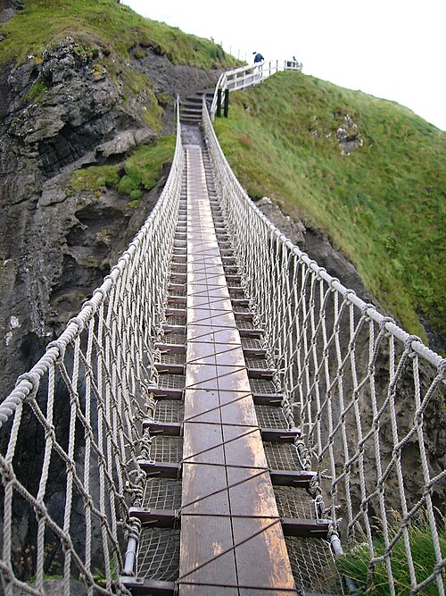 Carrick-a-rede Rope BridgeHeritage attraction · 4.2 mi
 Carrickarede IslandIslet · 4.2 mi
 Dunseverick FallsWaterfall · 4.3 mi