What is recorded here
Mnemo knows the Killyglen standing stone because it is a visible marker in County Antrim, not a hidden guess. It rises from the local earth as a prehistoric witness, old enough that human memory may have forgotten the hands which set it. The stone does not need a modern address to be real. It waits beside the road, patient and unbroken, marking the place where people once believed the earth could hold a shape worth keeping.
The official Northern Ireland record identifies this as STANDING STONE. Recorded period: UNCERTAIN; PREHISTORIC. Recorded protection: Scheduled. The official map point was placed at the centre of the recorded archaeological site from the source map reference.
Likely dating to the Neolithic or Bronze Age, this standing stone may have functioned as a ritual or territorial marker. No specific folklore or detailed use is recorded for this site.
The monument record does not grant public access. Check the route and ask the landowner before entering private land.
- What survives
- Recorded monument
Places near here
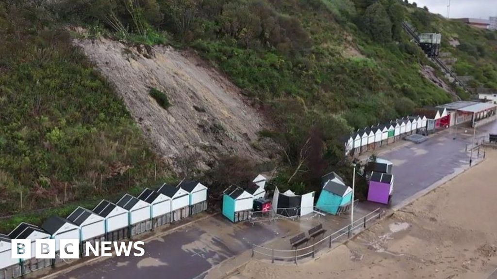 CLIFF-TOP ENCLOSURE; possibly PROMONTORY FORT in BallytoberCLIFF-TOP ENCLOSURE; possibly PROMONTORY FORT · 1126 yd
 A.P. SITEA.P. SITE, rectangular enclosure · 1.2 mi
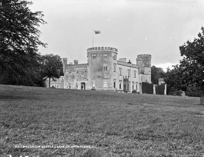 TOWER-HOUSE & BAWN: KILWAUGHTER CASTLE in DemesneTOWER-HOUSE & BAWN: KILWAUGHTER CASTLE · 2.1 mi
 Kilwaughter CastleCastle · 2.2 mi
 BallycoosMountain / peak · 2.4 mi
 Craigy HillMountain / peak · 2.8 mi
 Ballygally CastleHeritage attraction · 3.1 mi
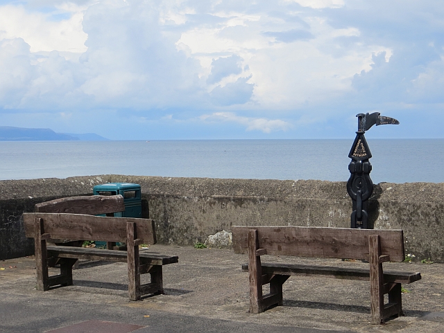 Millennium MilepostVisitor information · 3.1 mi
 Garden TrailWalking route · 3.2 mi
 CairncastleRuins · 3.6 mi
 Ballygalley HeadCliff · 3.6 mi
 Blackcave TunnelTunnel · 3.9 mi