What is recorded here
Kilkieran holds a rectangular limestone monolith, 1.7m high, standing on marshy ground beside an old roadway. Cattle have poached the earth around its base, yet packing stones still cluster beneath it. The stone may mark a boundary, a burial, or a warning to travellers lost in fog. Its edges taper slightly upward, as if stretching toward something it remembers.
On low-lying undulating marshy ground on the route of a roadway indicated on the 1840 OS 6-inch map. Listed as 'Standing stone , possible' in the SMR (1992) and the RMP (1996). Visited by Frank Coyne (Aegis Archaeology) on 3 November 2017 in connection with an Archaeological Impact Assessment and described as 'A rectangular limestone monolith (H 1.7m; Wth at base 0.6m; L at base 0.5m) tapering slightly towards the top (Wth at top 0.5m; L at top 0.5m). A number of packing stones are visible. The area around the base has been poached by cattle.'
Compiled by: Mary Tunney with information supplied by Frank Coyne, Aegis Archaeology.
Date of upload: 7 November 2017
Likely dating to the Neolithic or Bronze Age, the standing stone may have served as a boundary marker, ritual monument, or waystone along an ancient route. No specific folklore or detailed function is recorded for this site.
The monument record does not grant public access. Check the route and ask the landowner before entering private land.
- What survives
- Recorded monument
Places near here
 Enclosure in AyleacottyEnclosure · 146 yd
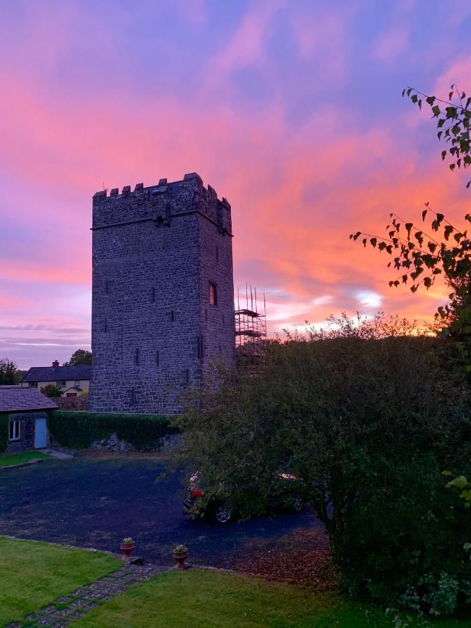 Enclosure in CastlefergusEnclosure · 977 yd
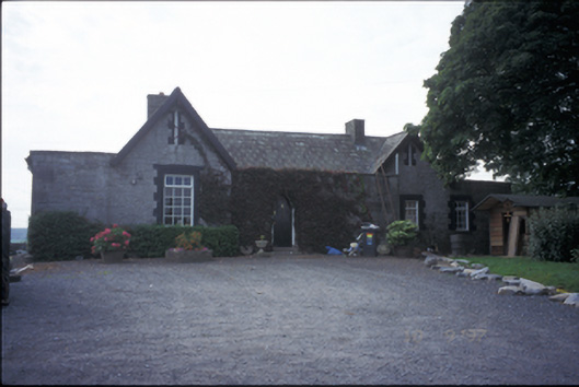 Glenviewrailway station · 1070 yd
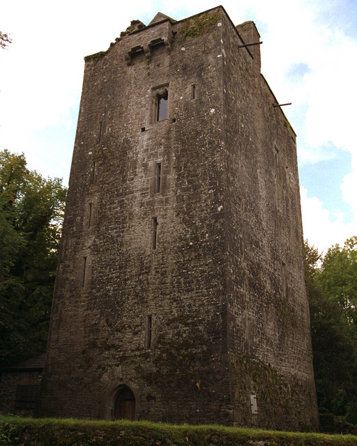 Mooghaun castleCastle · 1423 yd
 Castlefergus or Ballyhannan(in Rns) 1922Castle, tower house · 1539 yd
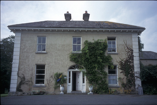 Ballyhannan Househouse · 1712 yd
 Mooghaun HillfortArchaeological place · 1756 yd
 Mooghaun WoodsWood · 1.0 mi
 HawthornHawthorn · 1.4 mi
 Quin AbbeyHeritage attraction · 1.9 mi
 G.A.A. Commemorative StoneMemorial · 3.5 mi
 Irish Famine MemorialMemorial · 3.5 mi