What is recorded here
Kilbrannish North stands beside a narrow road in County Carlow, leaning southeast at forty-five degrees like a tired giant who forgot how to sit. Its irregular slab rises nearly two metres, narrowing from a metre-wide base to a blunt top thick enough for two fists to span. People may have aligned it toward a distant hill, a buried road or a forgotten feast, yet it still points east-northeast without apology.
The following description is derived from the published 'Archaeological Inventory of County Carlow' (Dublin: Stationery Office, 1993). In certain instances the entries have been revised and updated in the light of recent research.
Date of upload/revision: 17 July 2007
Irregularly shaped slab, inclined 45 degrees to SE (H 1.85m; base Wth c. 1m, narrowing to top; T c. 0.44m). Aligned WSW-ENE.
The monument record does not grant public access. Check the route and ask the landowner before entering private land.
- What survives
- Recorded monument
Places near here
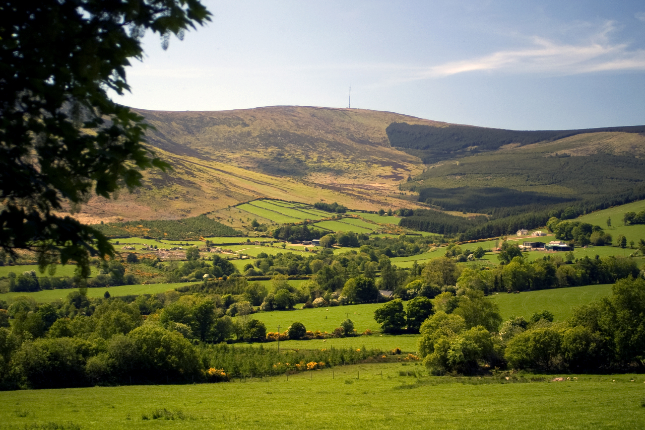 Enclosure in Kilbrannish North,kilbrannish SouthEnclosure · 259 yd
 Cross in Kilbrannish SouthCross · 982 yd
 St Bridget's WellSpring · 1100 yd
 GreenogeMountain / peak · 1185 yd
 John's HillMountain / peak · 1.2 mi
 Carrickduff WoodWood · 2.4 mi
 Site of Clonmullen CastleCastle, unclassified · 2.4 mi
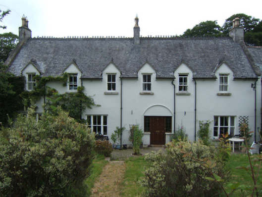 Mill Housefarm house · 2.9 mi
 Mount LeinsterMountain · 3.0 mi
 Irish Hangliding and Paragliding AssociationMemorial · 3.0 mi
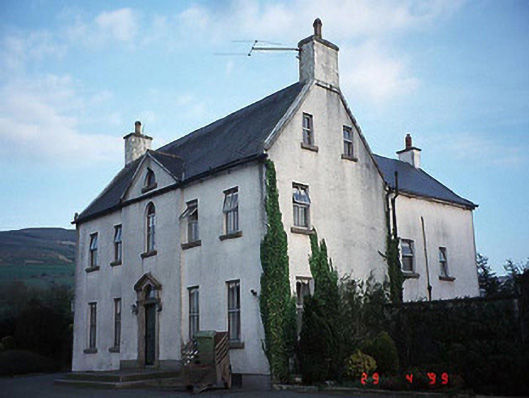 Hollybrook Househouse · 3.0 mi
 Barragh Church (in ruins), GraveyardChurch · 3.0 mi