What is recorded here
That is the visible result of the available evidence. The risk is not that one chamber thought incorrectly. The risk is that one incomplete account will be repeated everywhere as if it were complete. Better to show the missing part and preserve the facts already known.
The following description is derived from both the published 'Archaeological Inventory of County Louth' (Dublin: Stationery Office, 1986) and the 'Archaeological Survey of County Louth' (Dublin: Stationery Office, 1991). In certain instances the entries have been revised and updated in the light of recent research.
Date of upload/revision: 17 July 2007
Formerly situated on top of a low ridge in undulating countryside. The standing stone was moved, c. 1911, ESE to its present location, where it is in use as a gatepost. The stone is a slab of micaceous grit (max. dims. H 1.7m, 0.7m by 0.3m in section) which is now orientated roughly E-W. (CLAJ 1962, 179)
The monument record does not grant public access. Check the route and ask the landowner before entering private land.
- What survives
- Recorded monument
Places near here
 Enclosure in GrangeEnclosure · 180 yd
 Enclosure in SummerhillEnclosure · 271 yd
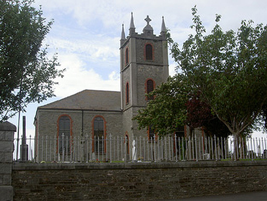 Saint Mary's Catholic Churchchurch/chapel · 1.2 mi
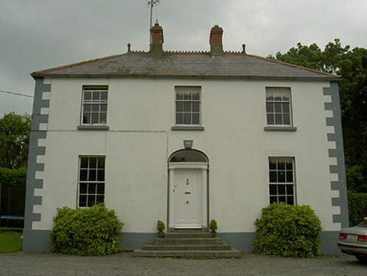 Hollow Househouse · 1.2 mi
:no_upscale()/cdn.vox-cdn.com/uploads/chorus_asset/file/25593391/County_Louth_6th.jpg) LouthMountain / peak · 1.5 mi
LouthMountain / peak · 1.5 mi CastleCastle, tower house · 1.8 mi
 Mount AshCastle, motte · 1.8 mi
 Photo GalleryHeritage attraction · 4.6 mi
 Dundalk CentralHeritage attraction · 4.7 mi
 Maid of ErinMemorial · 5.1 mi
 Bombing 1975Memorial · 5.1 mi
 Sky HillMountain / peak · 6.7 mi