What is recorded here
In pasture, in a thicket of hawthorn and overgrowth, located on the S-facing foothills of the Ox Mountains, a few meters W of a S-flowing stream. The low, partly sod-covered ruins of a vernacular house are located c. 10m to N. Upright stone (1.42m; H 1.05m; T 0.3m at base, 0.20m at top), embedded in the ground, with long axis NW–SE. It is roughly triangular in shape, with the narrow sides inclining inwards towards a gently pointed apex. The broad NE side of the stone is almost entirely covered in moss, and an ash tree grows against this side. According to local tradition, this stone is regarded as marking a special location, possibly the site of a burial.
Attached image:
SL025-167----_01.JPG viewed from S
Compiled by: Jane O'Shaughnessy
Date of upload: 6 July 2015
The monument record does not grant public access. Check the route and ask the landowner before entering private land.
- What survives
- Recorded monument
Places near here
 IndicatedEnclosure · 625 yd
 Hut site in CarrowgavneenHut site · 1151 yd
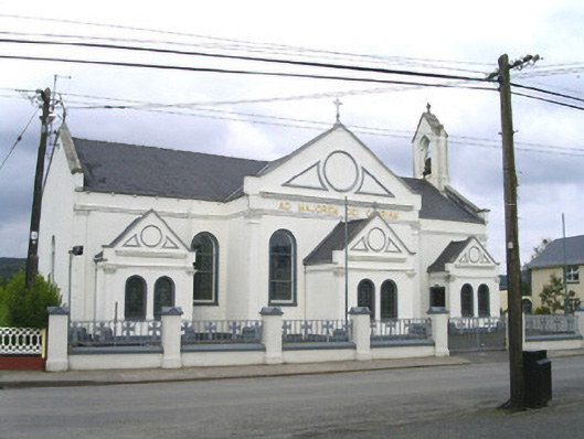 Catholic Church of the Sacred Heart and Saint Josephchurch/chapel · 1.5 mi
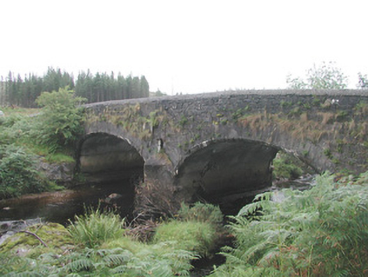 Carha Bridgebridge · 1.8 mi
 CloonaghMountain / peak · 1.9 mi
 Pigeonpark WoodForest · 2.7 mi
 DoomoreMountain / peak · 2.7 mi
 Valley WoodForest · 2.9 mi
 Bawn in Longford DemesneBawn · 2.9 mi
 Moymlough Castle (in Ruins)Castle, tower house · 3.6 mi
 Giant's GraveArchaeological place · 4.0 mi
 Derinch PointHeadland · 4.3 mi