What is recorded here
Absent from the earliest OS maps yet recorded in the Donegal survey, the standing stone rises from arable ground sloping north in Glentidaly. It may have marked a boundary, a burial or a prayer, but human hands have turned that soil so often the stone now belongs to forgetting. What remains is a vertical shadow in ordinary farmland, waiting for someone to stop and wonder why it was set there.
There is no trace of the 'Standing Stone' marked on the 1st edition of the OS 6-inch map. Situated on arable land rising gently to N.
The above description was derived from the 'Archaeological Survey of County Donegal. A description of the field antiquities of the County from the Mesolithic Period to the 17th century.' Compiled by: Brian Lacey with Eamon Cody, Claire Cotter, Judy Cuppage, Noel Dunne, Vincent Hurley, Celie O'Rahilly, Paul Walsh and Seán Ó Nualláin (Lifford: Donegal County Council, 1983). In certain instances the entries have been revised and updated.
Date of upload: 22 September 2008
This remains an important historical record, but the official description says the monument is no longer visible or has been destroyed. The monument record does not grant public access. Check the route and ask the landowner before entering private land.
- What survives
- No visible remains or recorded as destroyed
Places near here
 Glentidaly Double Stone RingfortFairy fort / stone ringfort · 470 yd
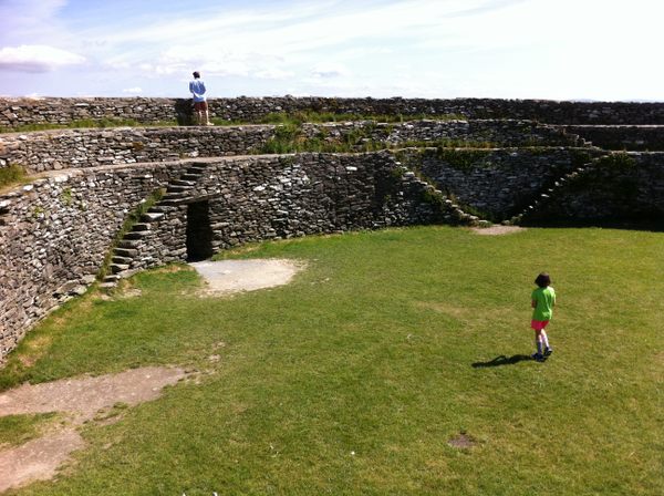 Former Glentidaly Fairy FortFairy fort / ringfort · 553 yd
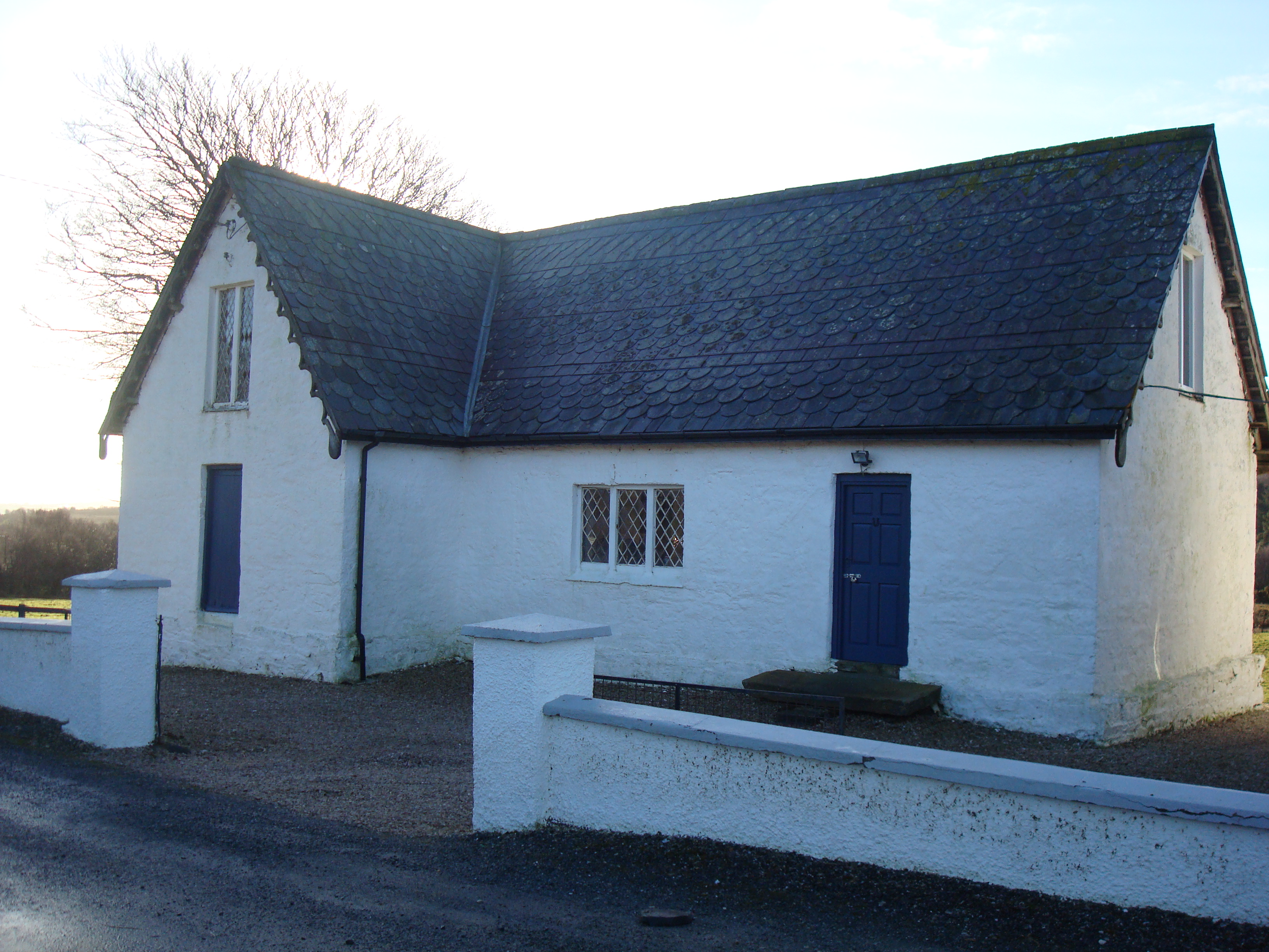 Glenalla National Schoolschool · 1067 yd
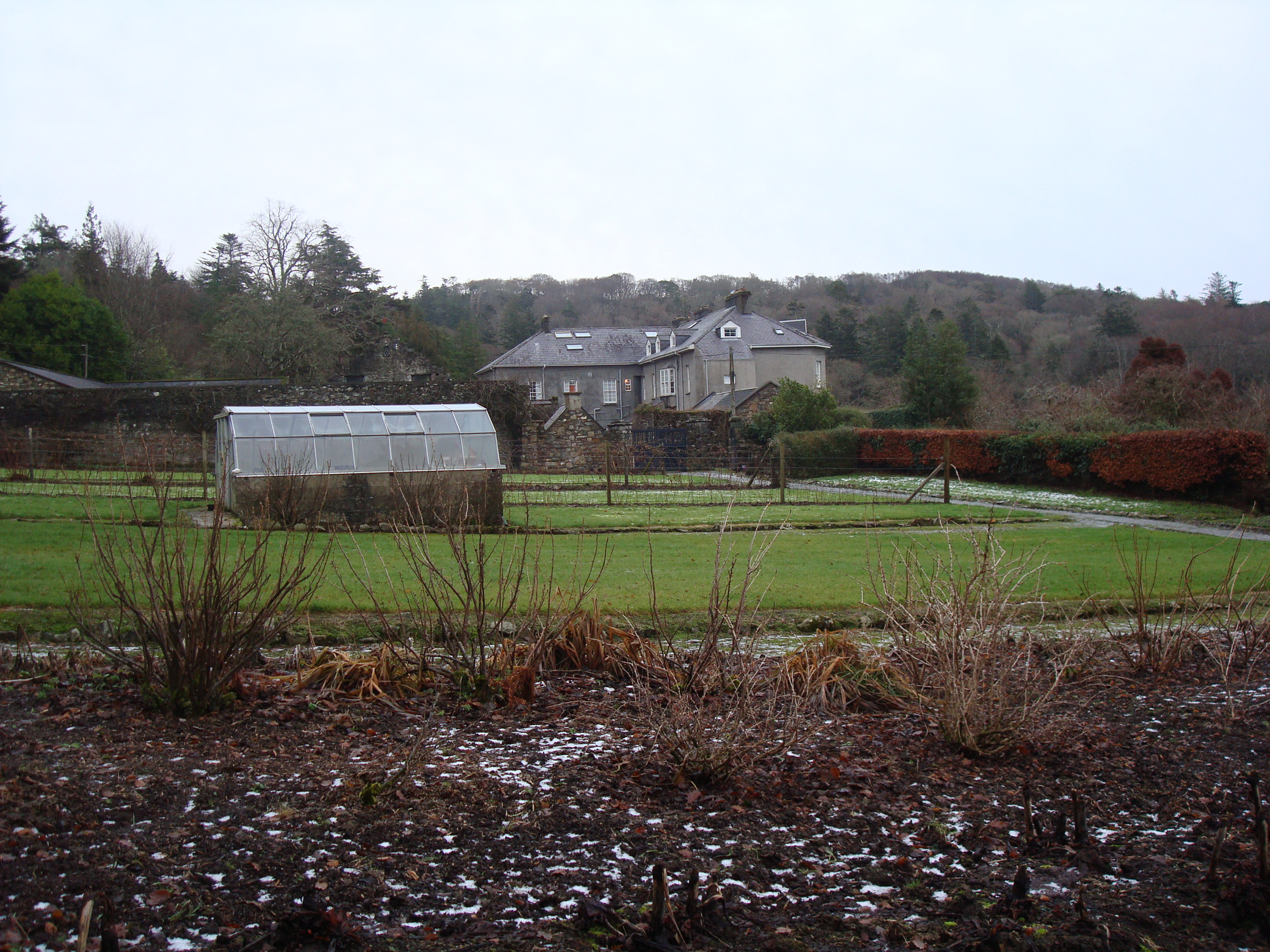 Glenalla Housewalled garden · 1095 yd
 Croaghan HillMountain / peak · 2.3 mi
 Wych ElmWych Elm · 2.4 mi
 Rathmullan Wood Nature ReserveNature reserve · 2.6 mi
 Bawn in RathmeltonBawn · 3.2 mi
 Tullyaughnish Old Church GraveyardGraveyard · 3.4 mi
 Rough IslandIslet · 3.6 mi
 RathmullanOfficial bathing water · 3.9 mi
 Mullanadee ShoreBeach / strand · 4.0 mi