What is recorded here
Glenmaquin Lower holds a seventy-five centimetre stone on a small earthen platform, watching the eastern slope descend toward a river valley. People may have placed it there to mark a boundary, honour a dead person or simply watch the water move. It has survived every human claim made around it. The valley changes while the stone remains steady, forcing memory to return whenever someone climbs the hill.
A standing stone, c. 0.75m high, set on a small earthen platform. Situated on the side of a hill sloping down E to a river valley.
The above description was derived from the 'Archaeological Survey of County Donegal. A description of the field antiquities of the County from the Mesolithic Period to the 17th century.' Compiled by: Brian Lacey with Eamon Cody, Claire Cotter, Judy Cuppage, Noel Dunne, Vincent Hurley, Celie O'Rahilly, Paul Walsh and Seán Ó Nualláin (Lifford: Donegal County Council, 1983). In certain instances the entries have been revised and updated.
Date of upload: 22 September 2008
Likely dating to the Late Neolithic or Bronze Age, this standing stone may have had ritual or territorial significance. No specific folklore or detailed use is recorded for this site.
The monument record does not grant public access. Check the route and ask the landowner before entering private land.
- What survives
- Recorded monument
Places near here
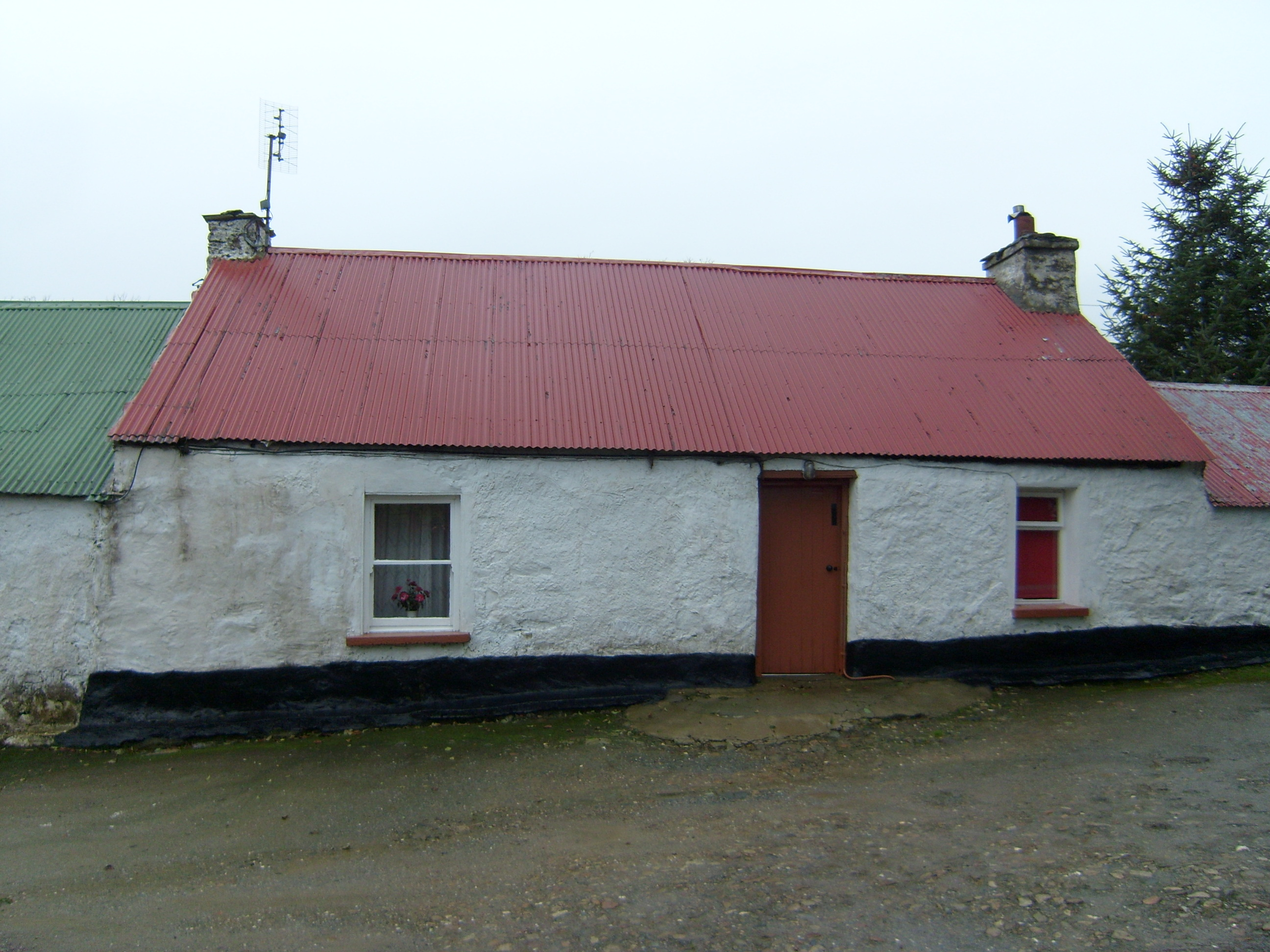 farmyard complexfarmyard complex · 584 yd
 bridgebridge · 1569 yd
 CastleCastle, unclassified · 1.6 mi
 Mongorry HillMountain / peak · 1.9 mi
 Montgomery's FortFairy fort / ringfort · 1.9 mi
 Aghlehard Cropmark EnclosureEnclosure · 2.0 mi
 Lurgybrack Open FarmHeritage attraction · 2.5 mi
 Dry Arch MonumentHeritage attraction · 3.1 mi
 PalaceHouse, fortified house · 3.5 mi
 Battle of Scarrifholisbattle · 5.6 mi
 European YewEuropean Yew · 6.0 mi
 RowanRowan · 6.0 mi