What is recorded here
Located towards the bottom of a S-facing slope. There is a small standing stone (dims. 0.6m x 0.5m; H 1m) with a triangular profile in the SE of the graveyard (WX016-021002-) associated with the parish church (WX016-021001-) of Monamolin.
Compiled by: Michael Moore
Date of upload: 21 May, 2012
The monument record does not grant public access. Check the route and ask the landowner before entering private land.
- What survives
- Recorded monument
Places near here
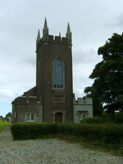 Saint Moling's Church (Monamolin)church/chapel · 42 yd
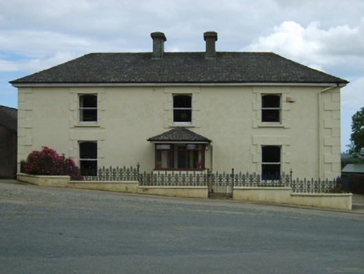 farm housefarm house · 81 yd
 St Molings WellHoly well · 396 yd
 Enclosure in BarraglanEnclosure · 662 yd
 Fontainebleau service treeFontainebleau service tree · 1.9 mi
 Bird BoxesVisitor information · 1.9 mi
 Birds of PreyVisitor information · 2.0 mi
 Father Murphy CentreHeritage attraction · 2.7 mi
 Carrigroe HillMountain / peak · 2.8 mi
 The CoilWood · 2.8 mi
 Giants BedNamed rock · 2.9 mi
 Boley HillMountain / peak · 3.0 mi