What is recorded here
Situated on the SE-facing slope of a ridge. An estate map by J. Grace of 1772 depicts a feature called the 'White Stone' on this hillside which may have been a standing stone (MS NLI 21.F.129, Castleotway Estate Maps). Not indicated on the 1st or 2nd ed. OS 6-inch map. No visible remains. The hill is now planted with young forestry with drainage ditches running downslope.
The above description is derived from 'The Archaeological Inventory of County Tipperary. Vol. 1 - North Tipperary' compiled by Jean Farrelly and Caimin O'Brien (Dublin: Stationery Office, 2002). In certain instances the entries have been revised and updated in the light of recent research.
Date of upload/revision: 22 September 2008
Likely dating to the Bronze Age, the standing stone may have had ceremonial or territorial significance. Local tradition sometimes associates such stones with ancient pathways or markers linked to early Irish settlers.
The monument record does not grant public access. Check the route and ask the landowner before entering private land.
- What survives
- Recorded monument
Places near here
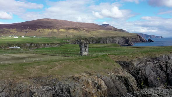 Commaun BegMountain / peak · 1262 yd
 IndicatedFairy fort / earthen ringfort · 1.0 mi
 Cooneen HillMountain / peak · 1.4 mi
 Curreeny National Schoolschool · 2.2 mi
 Site of Cloghonan CastleCastle, unclassified · 2.3 mi
 Church in CloghonanChurch · 2.4 mi
 Castle OtwayCastle, tower house · 2.6 mi
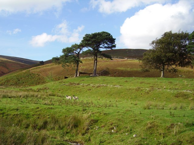 Hillfort in Cloghonan,knockadigeenHillfort · 2.8 mi
 Killavalla WoodForest · 3.7 mi
 Silvermines ViewpointViewpoint · 5.0 mi
 Sweet ChestnutSweet Chestnut · 5.0 mi
 Our Lady Assumed into HeavenMemorial · 5.7 mi