What is recorded here
On a N-facing slope of Knockperry South hill, in rough upland pasture. There are good views in all directions except to the S. Monument identified during ASI fieldwork. A red sandstone standing stone (0.6m x 0.4m; H 2m) lozenge-shaped in plan and orientated NE-SW. The stone, which is quite badly spawled, rises to an apex towards the SW. There are some hummocks at the base of the stone, with some stones on SE side which may be packing stones.
Compiled by: Jean Farrelly
Date of upload: 26 August 2011
The monument record does not grant public access. Check the route and ask the landowner before entering private land.
- What survives
- Recorded monument
Places near here
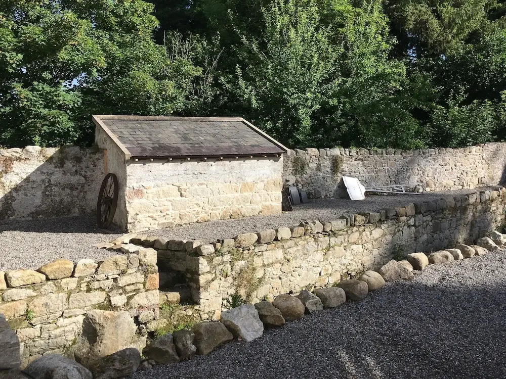 Enclosure in Clashganny WestEnclosure · 1663 yd
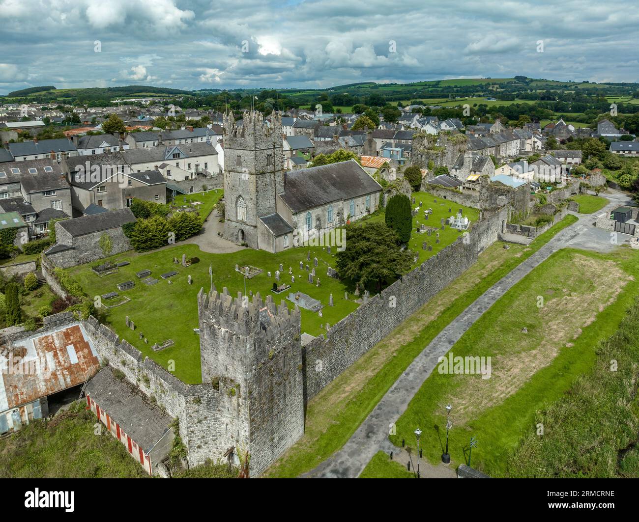 Hut site in Clashganny WestHut site · 1672 yd
 Curraghcloney CastleCastle · 1.1 mi
 Church in Clashganny EastChurch · 1.3 mi
 Castle Coonagh (in ruins)Castle, tower house · 1.8 mi
 Catholic Church of Our Lady of the Assumptionchurch/chapel · 1.8 mi
 European long distance path E8 - part IrelandWalking route · 3.0 mi
 BroemountainMountain / peak · 3.1 mi
 KnocknanaskMountain / peak · 3.5 mi
 Laeka WoodWood · 3.6 mi
 Turraphuca WoodForest · 5.1 mi
 Carey's Castle WoodsVisitor information · 5.2 mi