What is recorded here
Fahymactibbot is a Galway meadow where a broad, artificially erected stone once stood about two hundred yards from Caherbeg, visible enough for Redington to measure in 1916 but absent when the Galway Archaeological Survey looked later. That disappearance is not a failure of memory; it is the landscape refusing to keep its monument where human convenience wants it. The stone may have been buried, broken, taken or simply swallowed by grass and time. Whatever happened, the meadow still holds the shape of the loss, a flat place where vertical wonder used to pierce the sky.
In undulating meadowland. According to Redington (1916a, 58-9), a stone was pointed out to her ‘In Caherapheepa townland, 200 yds. [c. 183m] N. from Caherbeg’ (see GA103-054----). It was ‘roughly pointed, 5 ft. high by 3 ft. broad [H 1.5m; Wth 0.9m]’ and appeared ‘to have been artificially erected in its present position’. The distance noted from the cashel would place the standing stone in Fahymactibbot townland. This area was checked out but no visible surface trace of the stone was noted. Not precisely located.
Compiled by: Galway Archaeological Survey, UCG
Date of upload: 16 December 2019
The monument record does not grant public access. Check the route and ask the landowner before entering private land.
- What survives
- Recorded monument
Places near here
 CaherFairy fort / stone ringfort · 809 yd
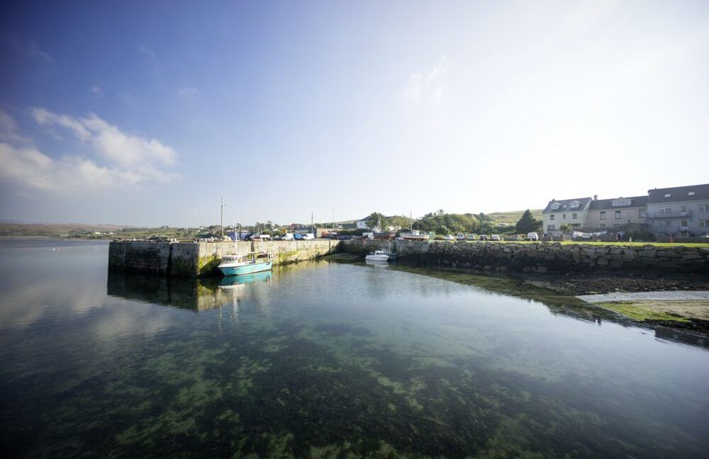 Man-made underground passage in Caherapheepa,fahymactibbotMan-made underground passage · 853 yd
 St. Colmans Catholic ChurchChurch · 1534 yd
 Dunkellin Bridgebridge · 1.0 mi
 Dunkellin Castle (in ruins)Castle, tower house · 1.1 mi
 Castlegar (in ruins)Castle, unclassified · 1.1 mi
 Kilcornan WoodWood · 1.5 mi
 Kilcornan ForestWood · 1.7 mi
 Drumacoo Monastic SiteHeritage attraction · 4.0 mi
 Goose IslandIslet · 7.4 mi
 InishcorraIslet · 7.7 mi
 Ardfry PointHeadland · 7.8 mi