What is recorded here
In pasture with commanding views in every direction. Rectangular stone aligned NW-SE (H 1.15m; 0.4m x 0.25m).
The above description is derived from the published 'Archaeological Inventory of County Cork. Volume 1: West Cork' (Dublin: Stationery Office, 1992). In certain instances the entries have been revised and updated in the light of recent research.
Date of upload/revision: 14 January 2009
Dated to the Late Neolithic or Early Bronze Age, this standing stone may have served a ceremonial or territorial function. Its alignment and prominent position suggest a possible astronomical or ritual significance, though specific folklore or use remains unrecorded.
The monument record does not grant public access. Check the route and ask the landowner before entering private land.
- What survives
- Recorded monument
Places near here
 Hut site in DundeadyHut site · 147 yd
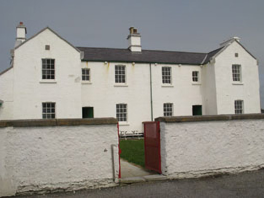 Galley Head Lighthouse Keepers' Houseslighthouse keeper's house · 226 yd
 Galley Head Lighthouselighthouse · 282 yd
 Dundeady Castle (in Ruins)Castle, tower house · 364 yd
 Galley HeadViewpoint · 407 yd
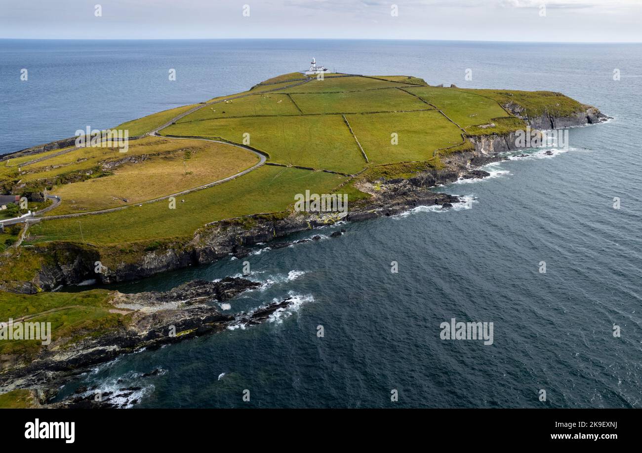 Man-made underground passage in DundeadyMan-made underground passage · 1141 yd
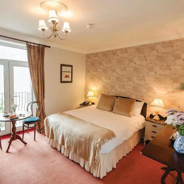 Donoure Castle (in Ruins)Castle, unclassified · 1501 yd
 Red StrandBeach / strand · 1.6 mi
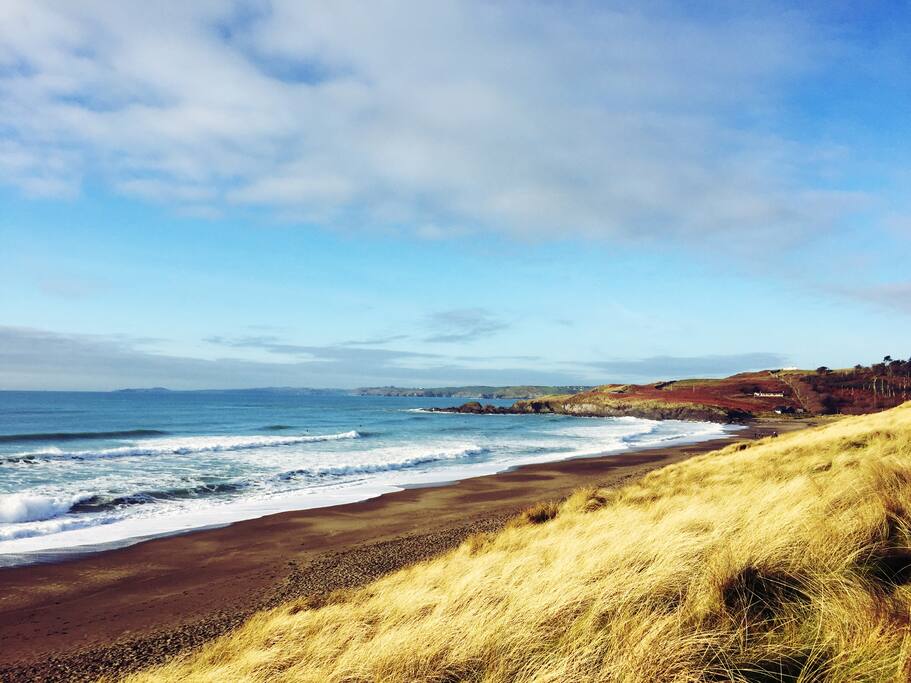 The Long StrandBeach / strand · 1.7 mi
 Long Strand DunesNature reserve · 1.8 mi
 Galley Head ViewViewpoint · 2.4 mi
 Lord Carbery's Cross TrailWalking route · 2.5 mi