What is recorded here
Known as 'the White Rock' this is a quartz standing stone 1.29m high × 0.8m wide at base; N-S. It is set in a field boundary at the junction of bogland to S and E and cultivated fields to W.
The above description was derived from the 'Archaeological Survey of County Donegal. A description of the field antiquities of the County from the Mesolithic Period to the 17th century.' Compiled by: Brian Lacey with Eamon Cody, Claire Cotter, Judy Cuppage, Noel Dunne, Vincent Hurley, Celie O'Rahilly, Paul Walsh and Seán Ó Nualláin (Lifford: Donegal County Council, 1983). In certain instances the entries have been revised and updated.
Date of upload: 22 September 2008
Likely dating to the Neolithic or Bronze Age, this quartz standing stone may have functioned as a boundary marker or had ritual significance due to its position at the edge of different landscapes. Quartz stones were often associated with spiritual or healing properties in later folklore.
The monument record does not grant public access. Check the route and ask the landowner before entering private land.
- What survives
- Recorded monument
Places near here
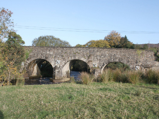 Druminderry Bridgebridge · 466 yd
 Enclosure in FoffanaghEnclosure · 1570 yd
 Kinnagoe Stone RingfortFairy fort / stone ringfort · 1.1 mi
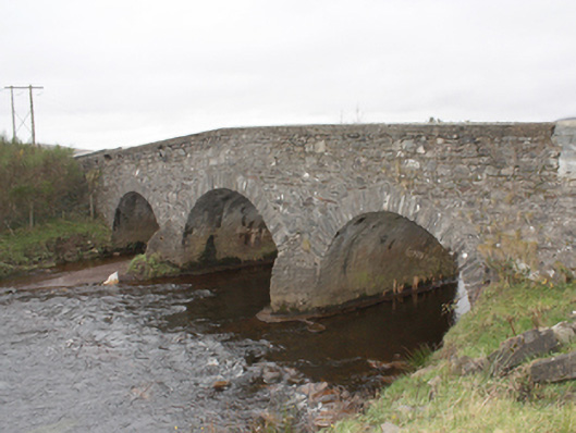 Kinnagoe Bridgebridge · 1.3 mi
 O'Doherty's KeepCastle · 2.8 mi
 Lady's Bay, BuncranaOfficial bathing water · 3.0 mi
 Slieve MainMountain / peak · 3.0 mi
 Neds Point FortFort · 3.2 mi
 Stragill BeachBeach / strand · 3.8 mi
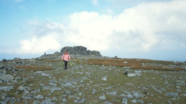 Slieve SnaghtMountain / peak · 4.0 mi
 Brown’s PointHeadland · 5.9 mi
 Eskaheen GraveyardGraveyard · 6.1 mi