What is recorded here
Dromore holds a standing stone whose age and purpose remain uncertain. The official record offers no date, story or function beyond the bare fact that stone still stands where people once marked the earth. What is missing is not a gap in evidence but an invitation to imagine the hands that lifted it and the reasons they gave it visibility.
The official Northern Ireland record identifies this as STANDING STONE. Recorded period: UNCERTAIN. The official map point was placed at the centre of the recorded archaeological site from the source map reference.
The monument record does not grant public access. Check the route and ask the landowner before entering private land.
- What survives
- Recorded monument
Places near here
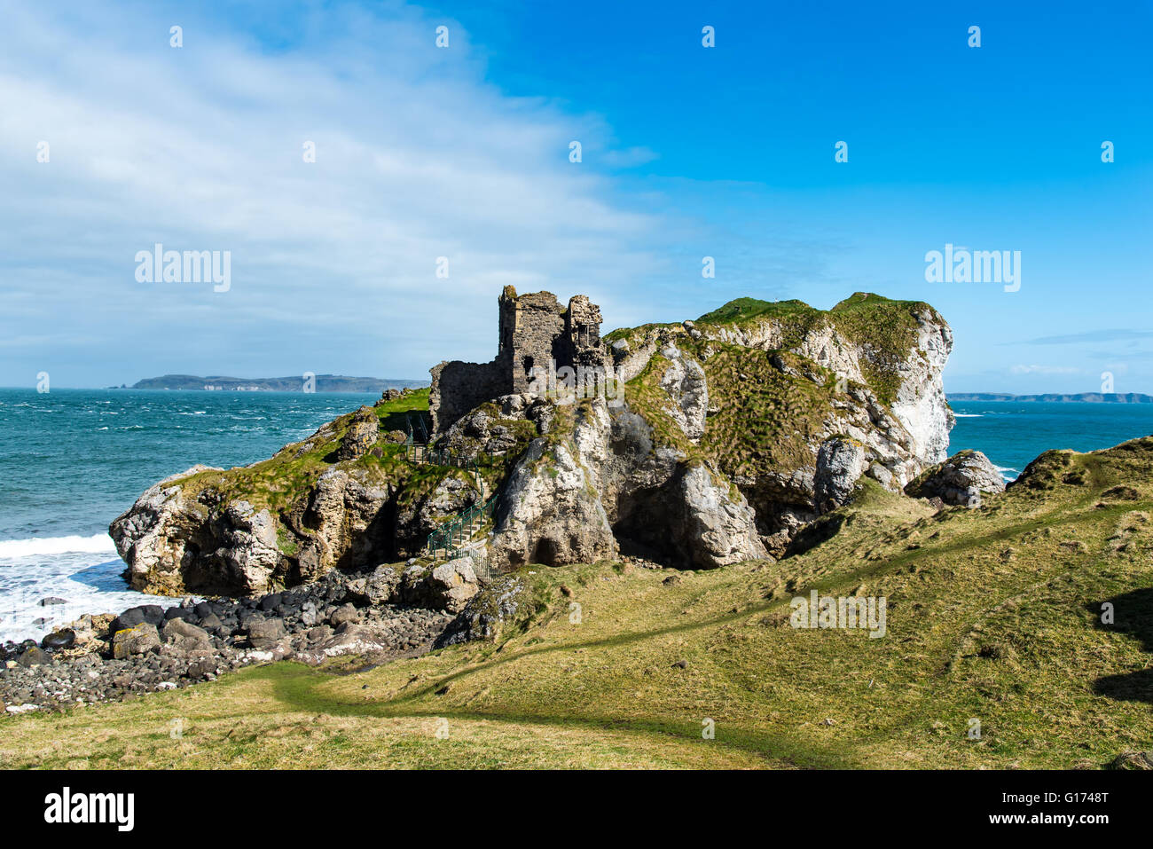 ENCLOSURE in KillycreenENCLOSURE · 1319 yd
 ENCLOSURE (O.S. memoir site; unlocated) in FrossesENCLOSURE (O.S. memoir site; unlocated) · 1.3 mi
 Dunminning CottageHouse · 1.8 mi
 Clough CastleArchaeological place · 3.0 mi
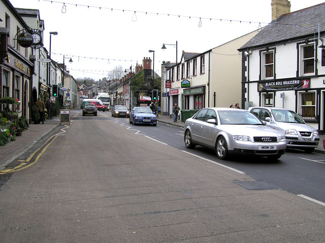 CHURCH: DONNELLY'S CELL (c.f. Ant 032:001) in CraigsCHURCH: DONNELLY'S CELL (c.f. Ant 032:001) · 3.6 mi
 CASTLE & HILLTOP ENCLOSURE: DOONBOUGHT FORT in DoonboughtCASTLE & HILLTOP ENCLOSURE: DOONBOUGHT FORT · 3.8 mi
 Long MountainMountain / peak · 3.8 mi
 Ballylough Big HillMountain / peak · 5.9 mi
 Moneygran WoodWood · 6.3 mi
 Big Gortgole ForestForest · 6.9 mi
 2025 Northern Ireland riotsriot · 7.5 mi
 CHURCH & GRAVEYARD: KILREA OLD CHURCH or KILREA O'DIAMOND in KilreaCHURCH & GRAVEYARD: KILREA OLD CHURCH or KILREA O'DIAMOND · 7.5 mi